


11 km | 12.8 km-effort

User


FREE GPS app for hiking
 SityTrail
IGN / Geographical institutes
SityTrail World
The world is yours!
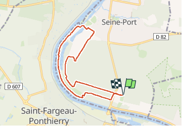
Trail Walking of 7.7 km to be discovered at Ile-de-France, Seine-et-Marne, Seine-Port. This trail is proposed by guydu41.
Ce circuit en sens antihoraire commence depuis le parking 1 Allée Watteau, 77240 Seine-Port à l'extrémité de l'Allé Madame Montesson depuis la D50.
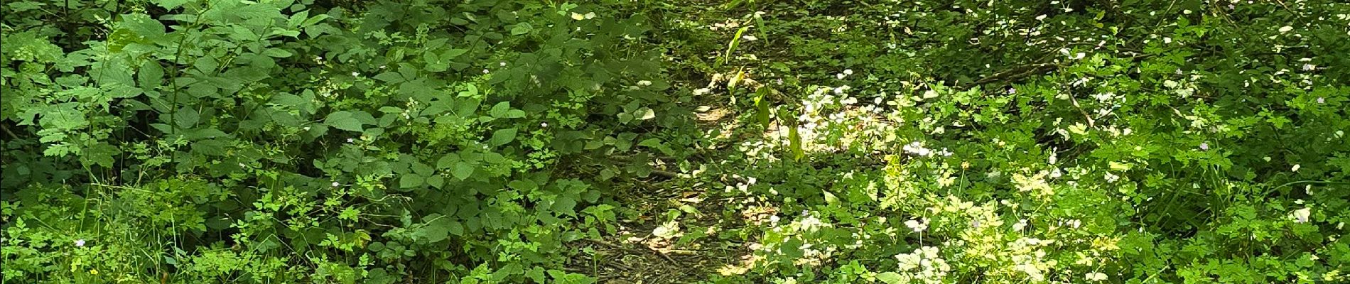
Il n'emprunte que des chemins à travers la Forêt de Bréviande et un sentier étroit et tortueux en bord de Seine.
La première difficulté est d'enjamber plusieurs arbres tombés en travers du sentier.
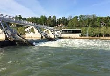
La deuxième est le franchissement d'un petit chenal au point 4,65 km de la trace enregistrée qui peut être inondé (nécessité de marcher pieds nus sur des cailloux coupants ou de mettre temporairement de petites sandales en plastique).
La troisième complication est que du point 6,4 km jusqu'au Pont Maréchal Juin le sentier a été complètement défoncé par des exploitants forestiers. Cela le rend impraticable surtout quand la terre est boueuse.
Nécessité de remonter sur le haut du coteau par des chemins très dégradés pour rejoindre la piste cyclable et revenir au parking.
Note : Le parcours proposé n'est à faire que si vous avez une âme d'explorateur, de bonnes chaussures de randonnée et une marche bien assurée.


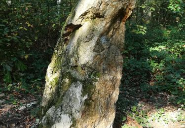
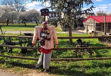
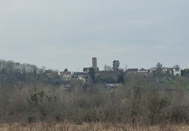
24 photos in total. Please click on a photo to see them all in the gallery.

Walking
Walking
Walking
Walking

Running

Walking
Walking

Walking
Walking