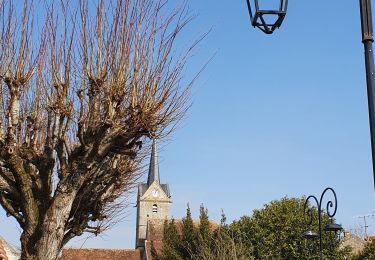
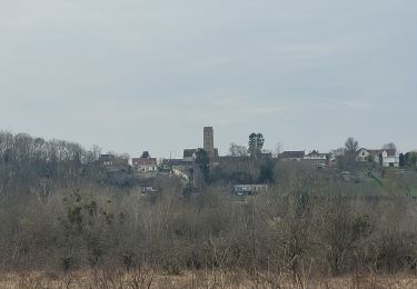
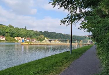
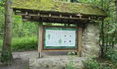
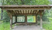
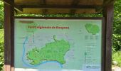
Trail Walking Saint-Pierre-du-Perray - Nandy - Forêt de Rougeau - Photo
 guydu41
guydu41

User

© OpenStreetMap contributors
Length
Length
9.4 km
Max alt
Max alt
98 m
Uphill gradient
Uphill gradient
119 m
Km-Effort
Km-Effort  
10.9 km
Min alt
Min alt
50 m
Downhill gradient
Downhill gradient
119 m
Boucle
Boucle
Yes
Creation date :
2024-06-25 11:31:04.709
Updated on :
2024-11-08 09:43:53.69

(0 Reviews)

Walking
Walking
2h29
Difficulty : Medium

Scan this QR Code to open this trail in the SityTrail application

FREE GPS app for hiking

Logo SityTrail SityTrail

IGN / Geographical institutes

Download SityTrail from the App Store Download SityTrail from Google Play

Logo SityTrail SityTrail World
The world is yours!

Download SityTrail from the App Store Download SityTrail from Google Play Download SityTrail on Huawei AppGallery

About

Trail Walking of 9.4 km to be discovered at Ile-de-France, Essonne, Saint-Pierre-du-Perray. This trail is proposed by guydu41.

Description

Ce circuit commence depuis le parking au bord de la D446 à l’Est de Saintry-sur-Seine, à proximité d'un parc d'attraction.

Le parcours en sens antihoraire emprunte un sentier à l'Ouest du lieu-dit "la Justice". Ce sentier presque inexistant à certains endroits longe le ruisseau "le Ravin du Gouffre" qu'il faut éviter par temps de pluie.
À l'approche du lieu-dit le "Four à Chaux", s'il y a de l'eau qui coule dans le ruisseau, celle-ci s'infiltre dans le sol et disparait pour réapparaitre dans la Seine plus bas.
Le sentier étroit et tortueux sur les hauteurs de la Seine permet d'avoir plusieurs points de vue sur celle-ci.
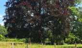
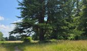
La petite boucle au niveau du très beau "Pavillon Royal" permet d'aller admirer un très grand et magnifique "Hêtre pourpre" et d'autres arbres grandioses.
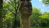
Dans la Forêt de Rougeau un sentier passe à côté d'une étonnante et très grande statue "Le Gardien".
Le retour au parking emprunte un chemin parallèle au sentier longeant le ruisseau, circuit PR balisé jaune.

Elevation profile

Photos

22 photos in total. Please click on a photo to see them all in the gallery.

Positioning

Country:
France
Region :
Ile-de-France
Department/Province :
Essonne
Municipality :
Saint-Pierre-du-Perray
Location:
Unknown
Start:(UTM)
464350 ; 5381843 (31U) N.

Trails nearby

Trail Walking Savigny-le-Temple - Entre Savigny-le-Temple et Seine-Port - Photo
Walking
DUGAEL

Walking

Very easy
(1)
Savigny-le-Temple, Ile-de-France, Seine-et-Marne, France
11 km | 12.8 km-effort
2h 59min
No
Trail Walking Nandy - La Forêt de Rougeau - Photo
Walking

Walking

Difficult
(1)
Nandy, Ile-de-France, Seine-et-Marne, France
19.7 km | 22 km-effort
5h 6min
Yes
Trail Running Seine-Port - Fore?t de Rougeau et bords de Seine - Photo
Running
tracegps

Running

Very difficult
(2)
Seine-Port, Ile-de-France, Seine-et-Marne, France
28 km | 32 km-effort
3h 30min
No
Trail Walking Seine-Port - Boucle autour de Seine Port - Photo
Walking
GUIDE
chessyca

Walking

Very easy
Seine-Port, Ile-de-France, Seine-et-Marne, France
22 km | 25 km-effort
4h 48min
Yes
Trail Walking Nandy - 2017-10-05-Cesson - Photo
Walking

Walking

Difficult
(1)
Nandy, Ile-de-France, Seine-et-Marne, France
21 km | 24 km-effort
5h 32min
Yes
Trail Walking Nandy - Boucle en forêt de Rougeau - Photo
Walking
GUIDE
chessyca

Walking

Very easy
Nandy, Ile-de-France, Seine-et-Marne, France
21 km | 24 km-effort
5h 1min
Yes
Trail Walking Morsang-sur-Seine - Boucle autour de Morsang / Seine par Brigitte - Photo
Walking
GUIDE
chessyca

Walking

Easy
Morsang-sur-Seine, Ile-de-France, Essonne, France
22 km | 26 km-effort
4h 37min
Yes
Trail Walking Morsang-sur-Seine - Boucle 30 km autour de Morsang sur Seine - Photo
Walking
GUIDE
chessyca

Walking

Medium
Morsang-sur-Seine, Ile-de-France, Essonne, France
30 km | 36 km-effort
6h 10min
Yes
Trail Walking Saintry-sur-Seine - Boucle 30 km Saintry - Seine Port - Morsang - Photo
Walking
GUIDE
chessyca

Walking

Very easy
Saintry-sur-Seine, Ile-de-France, Essonne, France
29 km | 34 km-effort
6h 15min
Yes


Close
My subscriptions