


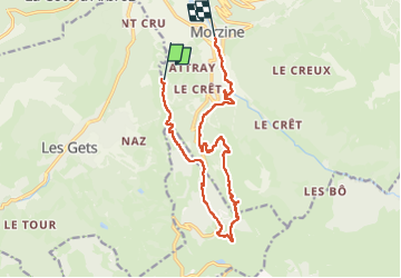

9.1 km | 26 km-effort

User


FREE GPS app for hiking
 SityTrail
IGN / Geographical institutes
SityTrail World
The world is yours!
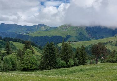
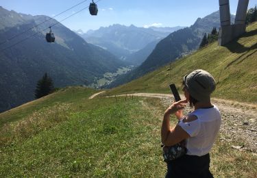
Trail Walking of 14.6 km to be discovered at Auvergne-Rhône-Alpes, Upper Savoy, Morzine. This trail is proposed by labarone.
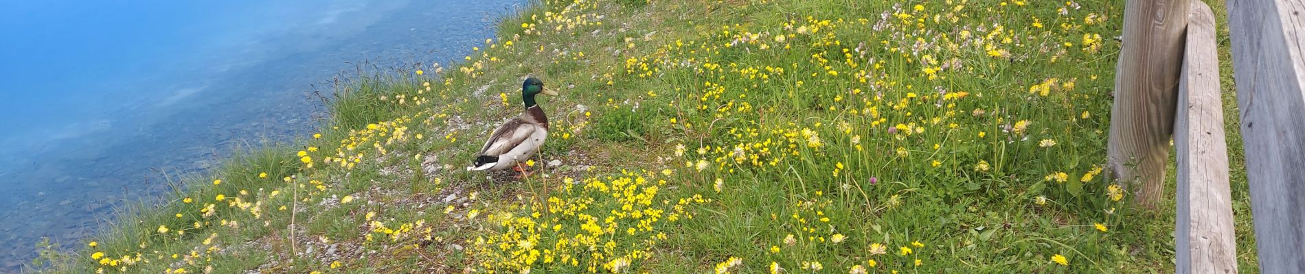
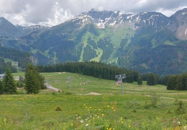
magnifique paysage
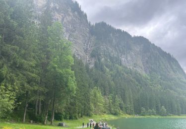
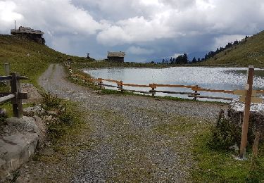
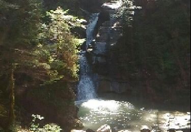
beau troupeau de vaches au lac et belle cascade sur le retour


Walking
Walking
Walking
Walking
Nordic walking
Walking
Walking
Walking
Walking