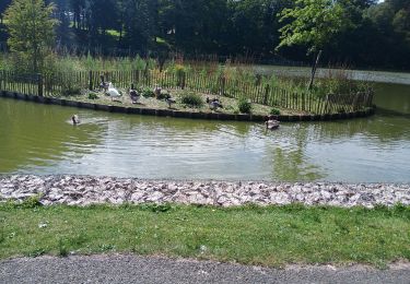
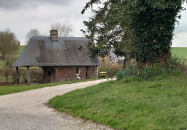
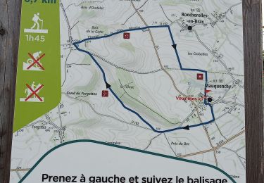
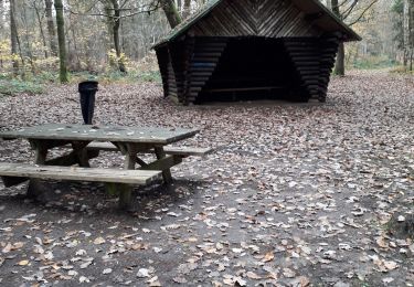
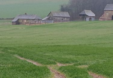
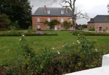
Trail Walking Mauquenchy - Mauquenchy - Photo
© OpenStreetMap contributors
Length
Length
14.2 km
Max alt
Max alt
233 m
Uphill gradient
Uphill gradient
222 m
Km-Effort
Km-Effort  
17.1 km
Min alt
Min alt
136 m
Downhill gradient
Downhill gradient
221 m
Boucle
Boucle
Yes
Creation date :
2024-06-23 11:02:44.0
Updated on :
2024-06-24 06:48:00.39

(0 Reviews)

Walking
Walking
3h53
Difficulty : Medium

Scan this QR Code to open this trail in the SityTrail application

FREE GPS app for hiking

Logo SityTrail SityTrail

IGN / Geographical institutes

Download SityTrail from the App Store Download SityTrail from Google Play

Logo SityTrail SityTrail World

The world is yours!

Download SityTrail from the App Store Download SityTrail from Google Play Download SityTrail on Huawei AppGallery

About

Trail Walking of 14.2 km to be discovered at Normandy, Seine-Maritime, Mauquenchy. This trail is proposed by jpblimond.

Elevation profile

Photos

Positioning

Country:
France
Region :
Normandy
Department/Province :
Seine-Maritime
Municipality :
Mauquenchy
Location:
Unknown
Start:(UTM)
389316 ; 5495801 (31U) N.

Trails nearby

Trail Walking Forges-les-Eaux - Forges les Eaux.Vers la fontaine de la Chevrette  - Photo
Walking
MichelRando7656

Walking

Medium
Forges-les-Eaux, Normandy, Seine-Maritime, France
5.5 km | 6.2 km-effort
1h 35min
Yes
Trail Walking Mauquenchy - mauquanchy - Photo
Walking
nicole.reine@wanadoo.fr

Walking

Medium
Mauquenchy, Normandy, Seine-Maritime, France
9.6 km | 11.2 km-effort
2h 35min
Yes
Trail Walking Forges-les-Eaux - Forges - Serqueux par voie verte puis campagne - Photo
Walking
Marie-Claire-mcp

Walking

Medium
Forges-les-Eaux, Normandy, Seine-Maritime, France
8 km | 8.9 km-effort
1h 50min
Yes
Trail Walking Mauquenchy - Mauquenchy .  - Photo
Walking
MichelRando7656

Walking

Medium
Mauquenchy, Normandy, Seine-Maritime, France
10.9 km | 12.7 km-effort
3h 39min
Yes
Trail Walking Forges-les-Eaux - Forges les eaux . Lacs et forets  - Photo
Walking
MichelRando7656

Walking

Easy
Forges-les-Eaux, Normandy, Seine-Maritime, France
10.3 km | 12.1 km-effort
3h 13min
Yes
Trail Walking Rouvray-Catillon - Rouvray-Vatillon  - Photo
Walking
MichelRando7656

Walking

Difficult
Rouvray-Catillon, Normandy, Seine-Maritime, France
12.3 km | 15 km-effort
3h 23min
Yes
Trail On foot Roncherolles-en-Bray - FR-9 - Photo
On foot
GUIDE+

On foot

Medium
Roncherolles-en-Bray, Normandy, Seine-Maritime, France
19.9 km | 23 km-effort
5h 19min
Yes
Trail Bicycle tourism Forges-les-Eaux - vtt - Photo
Bicycle tourism
matt76770

Bicycle tourism

Very easy
Forges-les-Eaux, Normandy, Seine-Maritime, France
48 km | 51 km-effort
2h 38min
No
Trail Walking Bois-Héroult - bois heroult - Photo
Walking
lebaube

Walking

Very easy
(1)
Bois-Héroult, Normandy, Seine-Maritime, France
9.4 km | 11.6 km-effort
2h 30min
Yes


Close
My subscriptions