Trail Road bike Unknown - les bouches de Kotor - Photo
© OpenStreetMap contributors
Length
Length
47 km
Max alt
Max alt
41 m
Uphill gradient
Uphill gradient
590 m
Km-Effort
Km-Effort  
55 km
Min alt
Min alt
-5 m
Downhill gradient
Downhill gradient
588 m
Boucle
Boucle
Yes
Creation date :
2024-06-22 04:34:50.361
Updated on :
2024-06-22 12:03:50.133

(0 Reviews)

Road bike
Road bike
3h47
Difficulty : Medium

Scan this QR Code to open this trail in the SityTrail application

FREE GPS app for hiking

Logo SityTrail SityTrail

IGN / Geographical institutes

Download SityTrail from the App Store Download SityTrail from Google Play

Logo SityTrail SityTrail World

The world is yours!

Download SityTrail from the App Store Download SityTrail from Google Play Download SityTrail on Huawei AppGallery

About

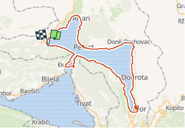
Trail Road bike of 47 km to be discovered at Unknown, Kotor Municipality. This trail is proposed by Jean-Marie Bousquet.

Description

le tour de la baie avec passage par le ferry (gratuit pour les piétons et vélos).

Elevation profile

Positioning

Country:
Montenegro
Region :
Unknown
Department/Province :
Kotor Municipality
Municipality :
Unknown
Location:
Unknown
Start:(UTM)
307029 ; 4706502 (34T) N.

Trails nearby

Trail Car  - MNE_KOTOR_Pm_150423 - Photo
Car
d.rognon

Car

Very easy
, Unknown, Kotor Municipality, Montenegro
10.9 km | 11.2 km-effort
5h 3min
No
Trail Walking  - retour lepetani  - Photo
Walking
Alinest

Walking

Difficult
, Unknown, Tivat Municipality, Montenegro
8 km | 16.1 km-effort
4h 22min
No


Close
My subscriptions