


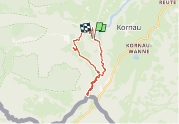


6.4 km | 9.8 km-effort

User


FREE GPS app for hiking
 SityTrail
IGN / Geographical institutes
SityTrail World
The world is yours!
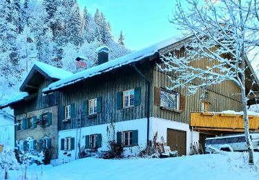
Trail Walking of 6.5 km to be discovered at Bavaria, Landkreis Oberallgäu, Oberstdorf. This trail is proposed by Geert H..
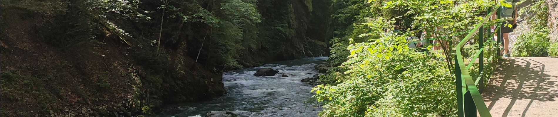
The Breitachklamm is a gorge created by the river Breitach
It is one of the deepest gorges of the Bavarian Alps and the deepest rocky gorge of Central Europe. Every year around 300.000 visitors walk the 2.5 km long path through the gorge.
Parking: € 4
Entrance fee: € 7,50 (2024)


25 photos in total. Please click on a photo to see them all in the gallery.
On foot
On foot
On foot
On foot

On foot
On foot
On foot

Walking
Walking