


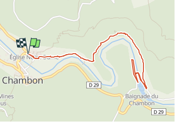


12.9 km | 22 km-effort
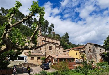
![Trail Walking Chambon - [Itinéraire] Vallée du Luech - Photo](https://media.geolcdn.com/t/1900/400/ext.pjpeg?maxdim=2&url=https%3A%2F%2Fmedia.geolcdn.com%2Ff%2Ff4b7876a-d36e-4512-bbcb-916c417e3812.png)

User


FREE GPS app for hiking
 SityTrail
IGN / Geographical institutes
SityTrail World
The world is yours!
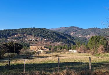
Trail Walking of 3.2 km to be discovered at Occitania, Gard, Chambon. This trail is proposed by paull.
Vallée du Luech version courte pour l'été.
Le chambon Chareneuve .
Aller & retour .
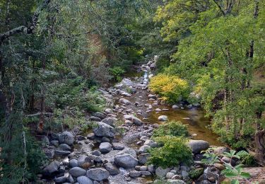
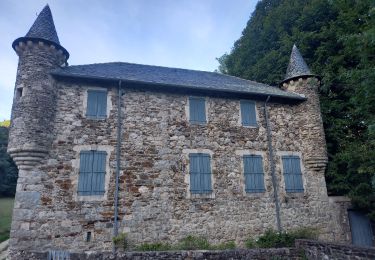
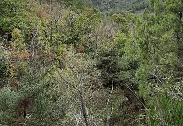
![Trail Walking Chambon - [Itinéraire] Vallée du Luech - Photo 1](https://media.geolcdn.com/t/2048/auto/f4b7876a-d36e-4512-bbcb-916c417e3812.png&format=jpg&maxdim=0 "Trail Walking Chambon - [Itinéraire] Vallée du Luech - Photo 1")
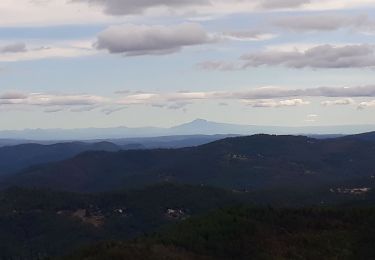
![Trail Walking Chambon - [Itinéraire] Vallée du Luech - Photo 2](https://media.geolcdn.com/t/2048/auto/6ab8c45d-9dd1-486f-8a4f-8d2abb694ac7.png&format=jpg&maxdim=0 "Trail Walking Chambon - [Itinéraire] Vallée du Luech - Photo 2")
Walking
Walking
Walking
Walking
Walking
Walking
Walking
Walking
Walking