


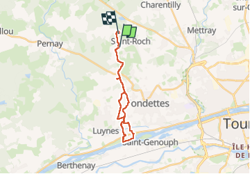

12.6 km | 14.2 km-effort


User


FREE GPS app for hiking
 SityTrail
IGN / Geographical institutes
SityTrail World
The world is yours!
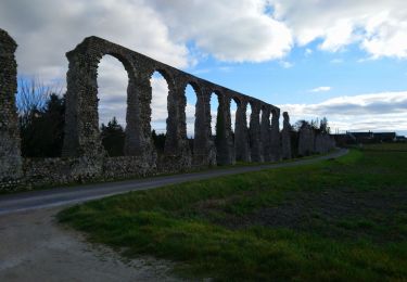
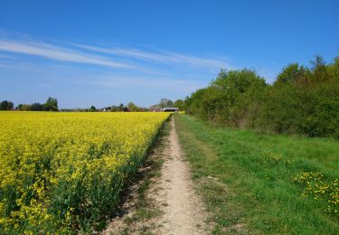
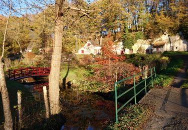
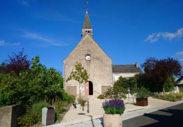
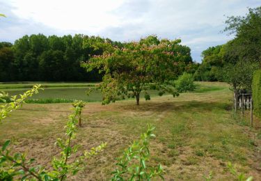
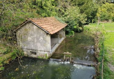
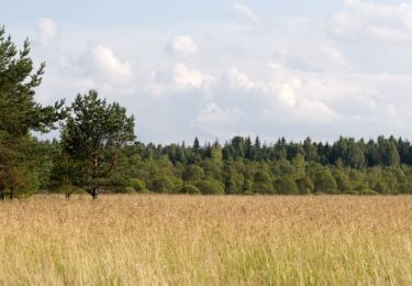
Trail of 21 km to be discovered at Centre-Loire Valley, Indre-et-Loire, Saint-Roch. This trail is proposed by Mathilde Trestard.
Walking
Walking
Walking
Walking
Walking
Walking

Walking
Mountain bike

Walking