


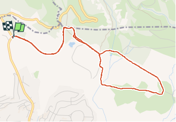

13.3 km | 18.3 km-effort

User


FREE GPS app for hiking
 SityTrail
IGN / Geographical institutes
SityTrail World
The world is yours!
Trail Walking of 6.2 km to be discovered at Provence-Alpes-Côte d'Azur, Var, Roquebrune-sur-Argens. This trail is proposed by cb8310.
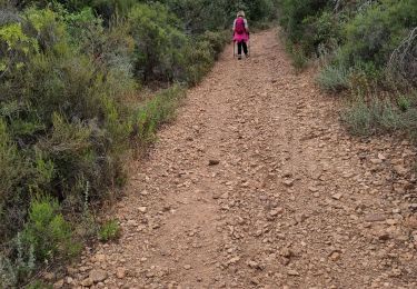
rando sans trop de difficultés avec au début de larges sentiers puis d'autres beaucoup plus étroits, rocailleux et parfois très pentus


Walking

Mountain bike

Walking

On foot
On foot
Walking
Walking
On foot
Walking