


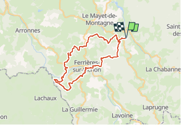

7.4 km | 10.8 km-effort


User


FREE GPS app for hiking
 SityTrail
IGN / Geographical institutes
SityTrail World
The world is yours!
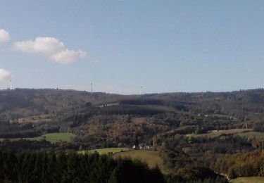
Trail Equestrian of 30 km to be discovered at Auvergne-Rhône-Alpes, Allier, Saint-Clément. This trail is proposed by jacky jouve.
prévue pour le 31/03 - Boucles des trois Chateaux
Walking
Walking
Walking
Trail
Walking
Walking
Walking
Walking

Equestrian