


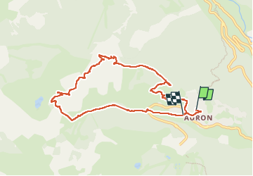

19.5 km | 40 km-effort


User


FREE GPS app for hiking
 SityTrail
IGN / Geographical institutes
SityTrail World
The world is yours!
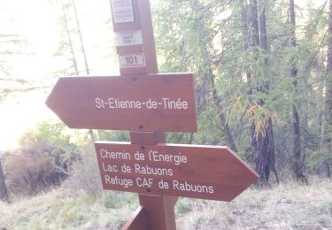
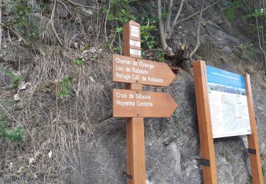
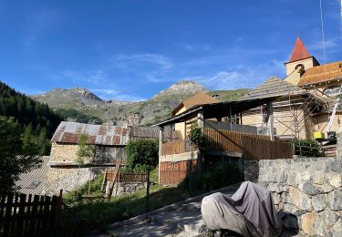
Trail Walking of 9.6 km to be discovered at Provence-Alpes-Côte d'Azur, Maritime Alps, Saint-Étienne-de-Tinée. This trail is proposed by Atchoum26.
petite rando sympa sans trop de difficultés. Avec une superbe vue sur la vallée de la Tinée et ses alentours.
le temps comprend les pauses et le pique-nique.

Walking

Walking

Walking
Walking
Walking

On foot

On foot

On foot

On foot