


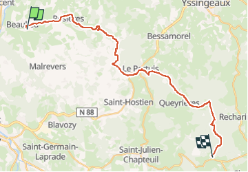

16.3 km | 24 km-effort


User


FREE GPS app for hiking
 SityTrail
IGN / Geographical institutes
SityTrail World
The world is yours!
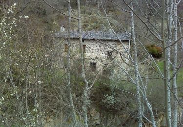
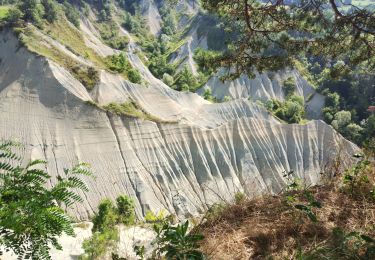
Trail Equestrian of 28 km to be discovered at Auvergne-Rhône-Alpes, Haute-Loire, Beaulieu. This trail is proposed by aline fauvet .
prévu pour le 16-06-2024

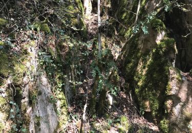
Walking
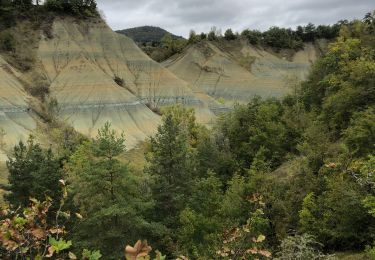
Walking
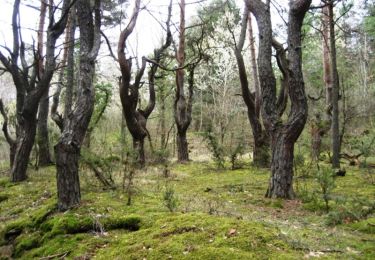
Walking
Walking

Walking
Walking

Mountain bike
Walking
Walking