


28 km | 37 km-effort

User


FREE GPS app for hiking
 SityTrail
IGN / Geographical institutes
SityTrail World
The world is yours!
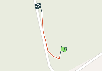
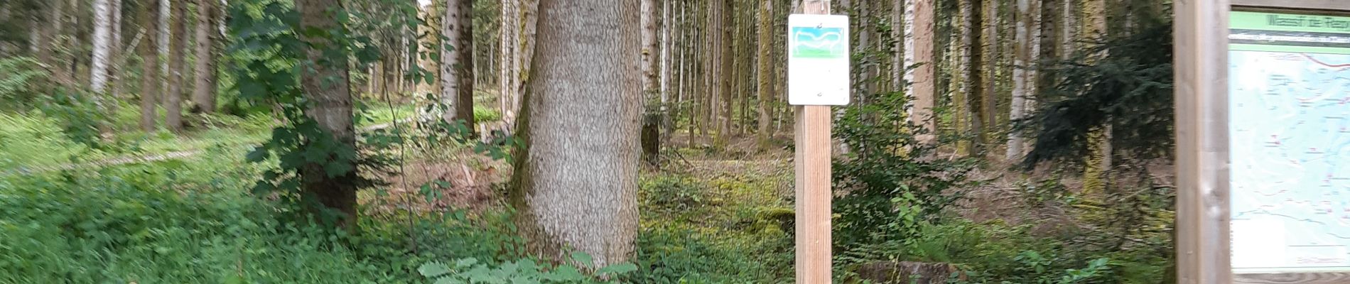
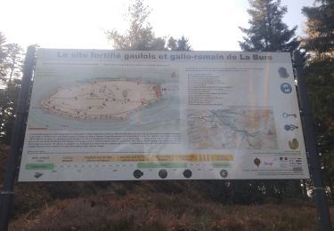
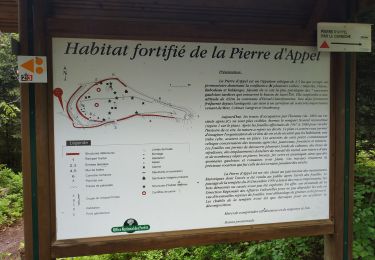
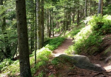
Trail Walking of 39 m to be discovered at Grand Est, Vosges, Étival-Clairefontaine. This trail is proposed by grandville.
se garer chemin de la côte de repy (Beaulieu à etival):

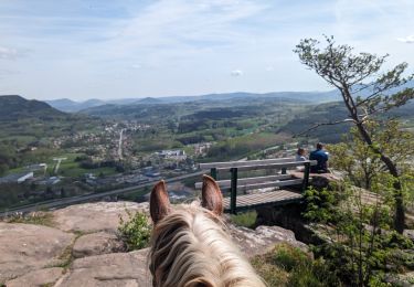
Horseback riding
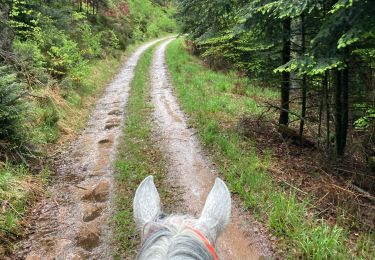
Horseback riding
Mountain bike

Mountain bike
Mountain bike
Mountain bike
Mountain bike
Mountain bike
Cycle