


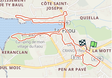

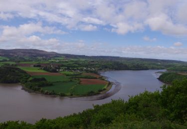
26 km | 32 km-effort


User


FREE GPS app for hiking
 SityTrail
IGN / Geographical institutes
SityTrail World
The world is yours!
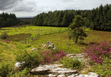
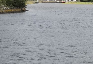
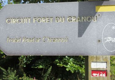
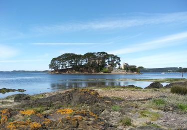
Trail On foot of 3.8 km to be discovered at Brittany, Finistère, Le Faou. This trail is proposed by chessyca.
À propos
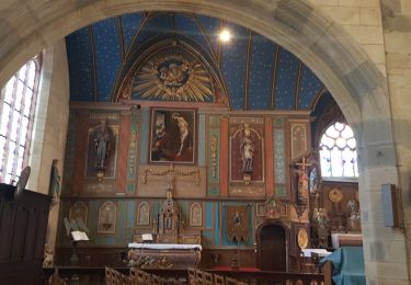
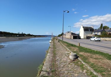
Partez à la découverte de la « petite cité de caractère » du Faou et de son patrimoine historique et culturel. Huit plaques explicatives sont fixées sur les murs ou les bâtiments.
Walking

On foot
Walking
Walking
Walking
Walking
Walking
Walking