
11 km | 13.8 km-effort

User


FREE GPS app for hiking
 SityTrail
IGN / Geographical institutes
SityTrail World
The world is yours!
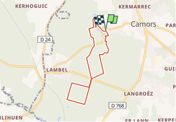
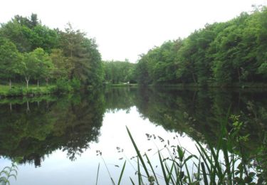
Trail Walking of 6.7 km to be discovered at Brittany, Morbihan, Camors. This trail is proposed by LPBS56.
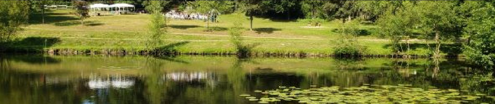
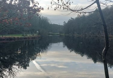
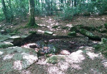
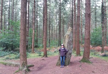
En partant du camping vous pouvez voir les étangs du petit bois, les vestiges du château de Comorre, le moulin de la Motte, le menhir Braz et Le menhir Bihan.
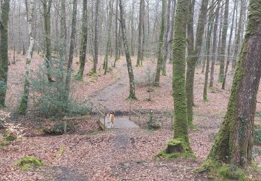
L'ensemble de la randonnée se fait à l'ombre de la forêt domaniale de Camors.


Walking
Walking
Walking
Walking
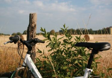
Cycle
Walking

Mountain bike
Walking