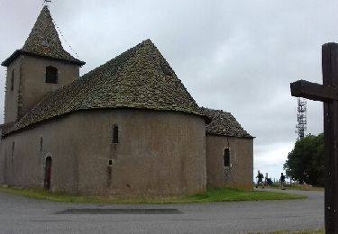
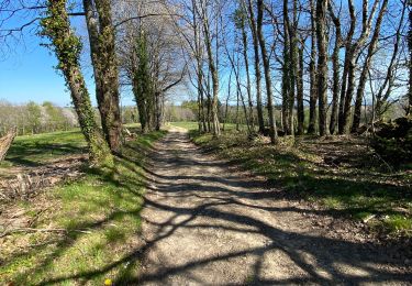
3.3 km | 4.7 km-effort
ryeuperou/ Chasseneuil
saegaert
User
Length
319 km
Max alt
757 m
Uphill gradient
4639 m
Km-Effort
383 km
Min alt
99 m
Downhill gradient
5279 m
Boucle
No
Creation date :
2024-06-13 08:23:14.076
Updated on :
2024-06-13 15:59:51.43
7h32
Difficulty : Very easy
FREE GPS app for hiking
About
Trail Car of 319 km to be discovered at Occitania, Aveyron, Rieupeyroux. This trail is proposed by saegaert.
Positioning
Country:
France
Region :
Occitania
Department/Province :
Aveyron
Municipality :
Rieupeyroux
Location:
Unknown
Start:(Dec)
Start:(UTM)
439188 ; 4906719 (31T) N.
Comments
Trails nearby
La Capelle Bleys
On foot
Easy
(1)
La Capelle-Bleys,
Occitania,
Aveyron,
France
9.8 km | 12.8 km-effort
2h 45min
Yes
Le Ségala, le Pays des 100 vallées - Rieupeyroux
Cycle
Difficult
Rieupeyroux,
Occitania,
Aveyron,
France
71 km | 87 km-effort
4h 30min
Yes
Rando Occitane
Walking
Very easy
Rieupeyroux,
Occitania,
Aveyron,
France
9.8 km | 13.2 km-effort
2h 54min
No
Tour du Pradal
Walking
Easy
Rieupeyroux,
Occitania,
Aveyron,
France
3.9 km | 5.8 km-effort
1h 32min
Yes
Rieupeyroux - Prévinquière
Mountain bike
Difficult
Rieupeyroux,
Occitania,
Aveyron,
France
23 km | 32 km-effort
2h 45min
Yes
Rieupeyroux - Prévinquière
Walking
Difficult
Rieupeyroux,
Occitania,
Aveyron,
France
23 km | 32 km-effort
7h 0min
Yes
Balade vues sur les plateaux
Trail
Medium
Rieupeyroux,
Occitania,
Aveyron,
France
6.3 km | 9 km-effort
1h 0min
No