5.7 km | 6 km-effort
wavrin en partie
laventie.oxygene
User
Length
9.8 km
Max alt
29 m
Uphill gradient
50 m
Km-Effort
10.5 km
Min alt
15 m
Downhill gradient
49 m
Boucle
No
Creation date :
2024-06-13 07:19:48.341
Updated on :
2024-06-13 09:36:09.309
2h15
Difficulty : Medium
FREE GPS app for hiking
About
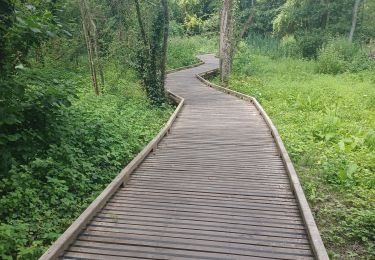
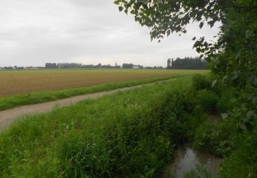
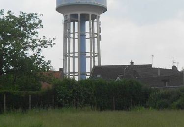
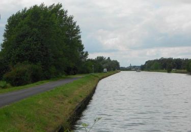
Trail Walking of 9.8 km to be discovered at Hauts-de-France, Nord, Wavrin. This trail is proposed by laventie.oxygene.
Positioning
Country:
France
Region :
Hauts-de-France
Department/Province :
Nord
Municipality :
Wavrin
Location:
Unknown
Start:(Dec)
Start:(UTM)
495445 ; 5601407 (31U) N.
Comments
Trails nearby
santes
Walking
Very easy
(1)
Santes,
Hauts-de-France,
Nord,
France
4.6 km | 5.1 km-effort
1h 7min
No
SANTES 2024 - SLCP
Walking
Medium
Santes,
Hauts-de-France,
Nord,
France
7.2 km | 7.7 km-effort
1h 59min
Yes
Autour de Beaucamps-Ligny
Walking
Medium
Beaucamps-Ligny,
Hauts-de-France,
Nord,
France
12.8 km | 13.8 km-effort
3h 10min
Yes
En Bas Flandre - Fournes en Weppes
Walking
Medium
Fournes-en-Weppes,
Hauts-de-France,
Nord,
France
8 km | 8.6 km-effort
2h 0min
Yes
Le chemin vert - Billy-Berclau
Walking
Medium
Billy-Berclau,
Hauts-de-France,
Pas-de-Calais,
France
9.2 km | 9.7 km-effort
2h 15min
Yes
Santes : chaîne de vie
Walking
Very easy
Houplin-Ancoisne,
Hauts-de-France,
Nord,
France
5.5 km | 5.9 km-effort
Unknown
Yes
Le Bois de rive - Santes
Walking
Easy
Santes,
Hauts-de-France,
Nord,
France
6.8 km | 7.2 km-effort
1h 45min
Yes