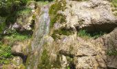
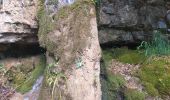
Trail Walking Villers-le-Lac - Le Pisoux - Photo
© OpenStreetMap contributors
Length
Length
22 km
Max alt
Max alt
1016 m
Uphill gradient
Uphill gradient
784 m
Km-Effort
Km-Effort  
32 km
Min alt
Min alt
616 m
Downhill gradient
Downhill gradient
782 m
Boucle
Boucle
Yes
Creation date :
2024-06-12 07:39:54.109
Updated on :
2024-06-15 08:00:46.155

(0 Reviews)

Walking
Walking
7h16
Difficulty : Difficult

Scan this QR Code to open this trail in the SityTrail application

FREE GPS app for hiking

Logo SityTrail SityTrail
IGN / Geographical institutes

Download SityTrail from the App Store Download SityTrail from Google Play

Logo SityTrail SityTrail World

The world is yours!

Download SityTrail from the App Store Download SityTrail from Google Play Download SityTrail on Huawei AppGallery

About

Trail Walking of 22 km to be discovered at Bourgogne-Franche-Comté, Doubs, Villers-le-Lac. This trail is proposed by eltonnermou.

Description

parking sur le bas du village, direction barrage.
pour le repas un gite à disposition à 9km du départ. il y a la possibilité de raccourcir cette rando en montant directement sur Grand combe des Bois sans passer par le chalet Bonaparte. Cette montée est tout aussi très difficile que celle à partir du chalet Bonaparte jusqu'au lieu dit "sur la côte". Le raccourci diminue la distance d'environ 3 à 4 km.

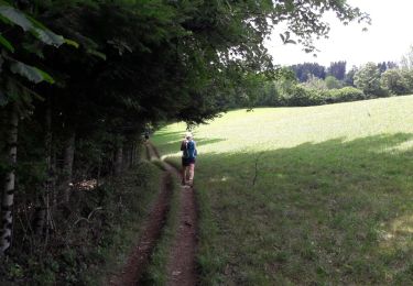
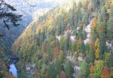
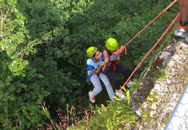
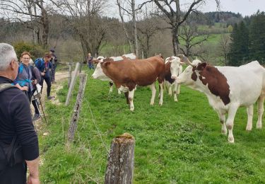
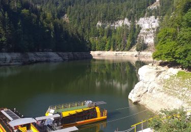
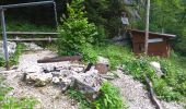
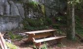
Très, très belle randonnée essentiellement en de magnifiques sous bois, avec des beaux points de vue une fois de retour sur le plateau ;et de magnifiques images tout au long de ce défilé dans les gorges. Prenez le temps de visiter cette petite grotte sur le chemin du retour en suivant les indications (cela ni n'allonge ni augmente le dénivelé). La montée du chalet Bonaparte (ou pour le raccourci du bord du Doubs à Grand Combe) est très difficile et longue, les bâtons sont fortement conseillés. La vue du Doubs dans le défilé est apaisante.
Et comme dans de tels paysages, laissez vous surprendre par la faune et la flore, sans toutefois en cueillir.

Elevation profile

Photos

22 photos in total. Please click on a photo to see them all in the gallery.

Positioning

Country:
France
Region :
Bourgogne-Franche-Comté
Department/Province :
Doubs
Municipality :
Villers-le-Lac
Location:
Unknown
Start:(UTM)
328023 ; 5219015 (32T) N.

Trails nearby

Trail Walking Villers-le-Lac - Le saut du Doubs et le Châtelard - Photo
Walking
VacheKiri67

Walking

Medium
(2)
Villers-le-Lac, Bourgogne-Franche-Comté, Doubs, France
11.5 km | 18.8 km-effort
3h 56min
Yes
Trail On foot Le Locle - Hôtel du Saut du Doubs - Gare des Brenets - Photo
On foot
GUIDE+

On foot

Easy
Le Locle, Neuchâtel, Unknown, Switzerland
3.1 km | 4.3 km-effort
58min
No
Trail On foot Le Locle - Les Frêtes - fixme - Photo
On foot
GUIDE+

On foot

Easy
Le Locle, Neuchâtel, Unknown, Switzerland
4.1 km | 6.7 km-effort
1h 31min
No
Trail On foot Le Locle - Les Frêtes - fixme - Photo
On foot
GUIDE+

On foot

Easy
Le Locle, Neuchâtel, Unknown, Switzerland
3.4 km | 5.8 km-effort
1h 19min
No
Trail On foot Les Planchettes - Barrage du Châtelot - Saut du Doubs - Photo
On foot
GUIDE+

On foot

Easy
Les Planchettes, Neuchâtel, Unknown, Switzerland
4 km | 5.9 km-effort
1h 20min
No
Trail Walking Villers-le-Lac - 25 saut du Doubs jura 08.08.24 - Photo
Walking
GUIDE
randodyssée

Walking

Easy
Villers-le-Lac, Bourgogne-Franche-Comté, Doubs, France
11.7 km | 17.9 km-effort
5h 0min
Yes
Trail Walking Villers-le-Lac - barrage chatelot saut du doubs le pissoux - Photo
Walking
eltonnermou

Walking

Easy
Villers-le-Lac, Bourgogne-Franche-Comté, Doubs, France
11.9 km | 18.5 km-effort
5h 35min
Yes
Trail Walking Villers-le-Lac - Saut du Doubs - Photo
Walking
janussity

Walking

Difficult
Villers-le-Lac, Bourgogne-Franche-Comté, Doubs, France
11.6 km | 16.8 km-effort
2h 52min
No
Trail Walking Villers-le-Lac - les brenets - Photo
Walking
eltonnermou

Walking

Medium
Villers-le-Lac, Bourgogne-Franche-Comté, Doubs, France
15.2 km | 23 km-effort
94h 30min
No


Close
My subscriptions