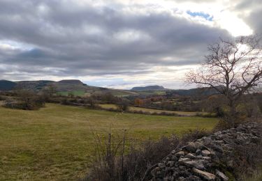
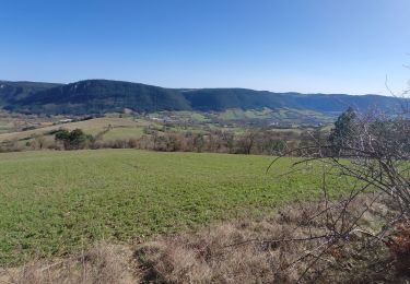
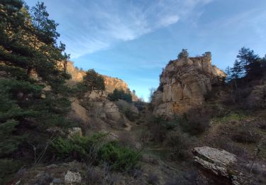
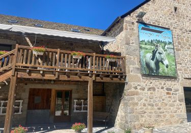
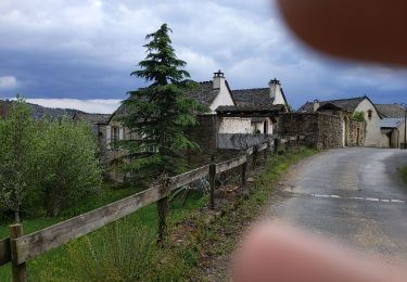
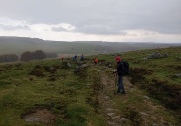
Trail Walking Palhers - palhers - Photo
 tyntyn
tyntyn

User

© OpenStreetMap contributors
Length
Length
12 km
Max alt
Max alt
990 m
Uphill gradient
Uphill gradient
328 m
Km-Effort
Km-Effort  
16.6 km
Min alt
Min alt
638 m
Downhill gradient
Downhill gradient
403 m
Boucle
Boucle
No
Creation date :
2024-06-10 12:21:32.309
Updated on :
2024-06-10 16:15:34.855

(0 Reviews)

Walking
Walking
1h56
Difficulty : Medium

Scan this QR Code to open this trail in the SityTrail application

FREE GPS app for hiking

Logo SityTrail SityTrail

IGN / Geographical institutes

Download SityTrail from the App Store Download SityTrail from Google Play

Logo SityTrail SityTrail World

The world is yours!

Download SityTrail from the App Store Download SityTrail from Google Play Download SityTrail on Huawei AppGallery

About

Trail Walking of 12 km to be discovered at Occitania, Lozère, Palhers. This trail is proposed by tyntyn.

Elevation profile

Positioning

Country:
France
Region :
Occitania
Department/Province :
Lozère
Municipality :
Palhers
Location:
Unknown
Start:(UTM)
523682 ; 4929629 (31T) N.

Trails nearby

Trail Motorbike Gabrias - retour  - Photo
Motorbike
Daniel Dufour

Motorbike

Very easy
(1)
Gabrias, Occitania, Lozère, France
4 km | 5.4 km-effort
1h 0min
No
Trail Motorbike Marvejols - rando trail 640 pont de monvert  - Photo
Motorbike
Jérôme Pignol

Motorbike

Medium
(1)
Marvejols, Occitania, Lozère, France
202 km | 274 km-effort
6h 15min
Yes
Trail sport Marvejols - Truc de st bonnet - Photo
sport
Biquette73

sport

Very easy
Marvejols, Occitania, Lozère, France
14.4 km | 20 km-effort
Unknown
No
Trail Walking Esclanèdes - Rocherousse Marijoulet - Photo
Walking
tyntyn

Walking

Difficult
Esclanèdes, Occitania, Lozère, France
10.5 km | 16.4 km-effort
2h 58min
Yes
Trail Walking Palhers - Prades montagne fendu - Photo
Walking
tyntyn

Walking

Medium
Palhers, Occitania, Lozère, France
6.1 km | 9.7 km-effort
1h 59min
No
Trail Mountain bike Marvejols - Fait GTMC 2022 E11 Bigose - Photo
Mountain bike
jl77130

Mountain bike

Medium
Marvejols, Occitania, Lozère, France
55 km | 71 km-effort
7h 22min
No
Trail Walking Palhers - Urbain V 3 - Photo
Walking
bymarc26

Walking

Medium
Palhers, Occitania, Lozère, France
17.9 km | 27 km-effort
4h 45min
No
Trail Walking Palhers - Urbain V 2 - Photo
Walking
bymarc26

Walking

Medium
Palhers, Occitania, Lozère, France
30 km | 41 km-effort
5h 15min
No
Trail Walking Marvejols - plateau de lacham - Photo
Walking
Jerome Pignol

Walking

Very easy
Marvejols, Occitania, Lozère, France
4.4 km | 5.5 km-effort
1h 12min
Yes


Close
My subscriptions