


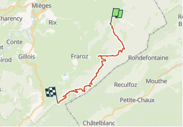

22 km | 29 km-effort


User


FREE GPS app for hiking
 SityTrail
IGN / Geographical institutes
SityTrail World
The world is yours!
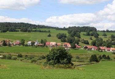
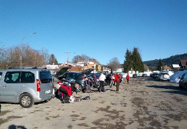
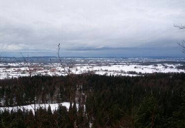
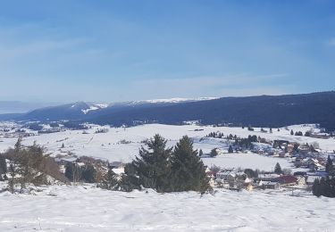
Trail Horseback riding of 19.1 km to be discovered at Bourgogne-Franche-Comté, Jura, Mignovillard. This trail is proposed by Flo 25.
vhh
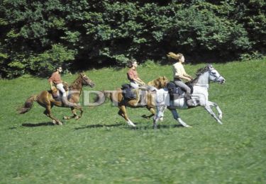
Equestrian
Walking
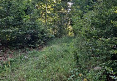
Walking
On foot

Walking
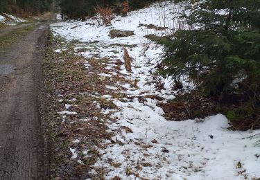
Snowshoes
Snowshoes
Snowshoes
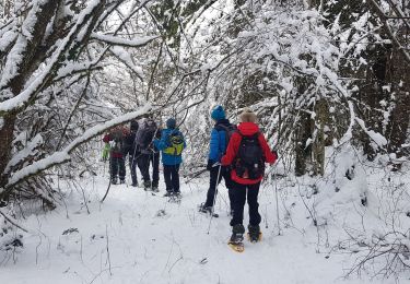
Snowshoes