


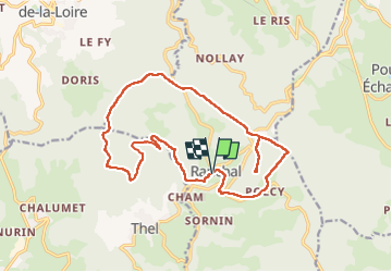

26 km | 37 km-effort


User


FREE GPS app for hiking
 SityTrail
IGN / Geographical institutes
SityTrail World
The world is yours!
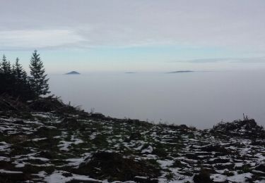
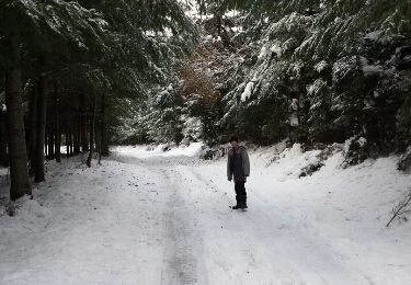
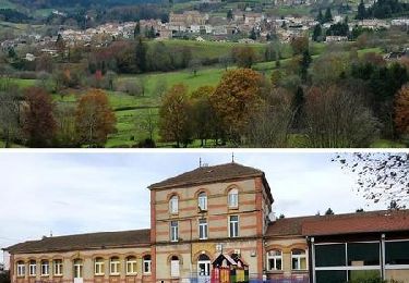
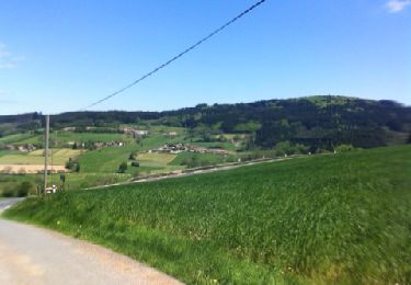
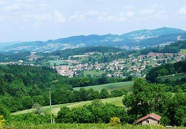
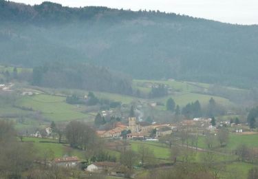
Trail Walking of 17.6 km to be discovered at Auvergne-Rhône-Alpes, Rhône, Ranchal. This trail is proposed by Thomasdanielle.
D/A : Parking Salle des fêtes
Mountain bike
Walking
Walking
Walking
Walking
Mountain bike
Mountain bike
Mountain bike
Walking