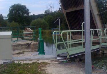
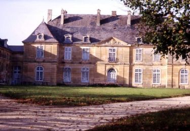
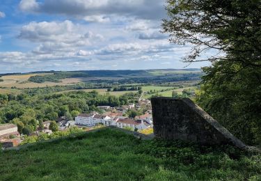
Trail Walking Fronville - Le Moulin de Sombreuil à Fronville - Photo

Le Moulin de Sombreuil à Fronville

 guariso
guariso

User

© OpenStreetMap contributors
Length
Length
8.7 km
Max alt
Max alt
367 m
Uphill gradient
Uphill gradient
271 m
Km-Effort
Km-Effort  
12.3 km
Min alt
Min alt
190 m
Downhill gradient
Downhill gradient
270 m
Boucle
Boucle
Yes
Creation date :
2024-06-10 08:05:32.749
Updated on :
2024-06-10 08:08:10.056

(0 Reviews)

Walking
Walking
2h47
Difficulty : Medium

Scan this QR Code to open this trail in the SityTrail application

FREE GPS app for hiking

Logo SityTrail SityTrail

IGN / Geographical institutes

Download SityTrail from the App Store Download SityTrail from Google Play

Logo SityTrail SityTrail World

The world is yours!

Download SityTrail from the App Store Download SityTrail from Google Play Download SityTrail on Huawei AppGallery

About

Trail Walking of 8.7 km to be discovered at Grand Est, Haute-Marne, Fronville. This trail is proposed by guariso.

Elevation profile

Points of interest

Point of interest Fronville - Fourche - Photo
guariso
FRONVILLE 
Point of interest Fronville - Cote 321 - Photo
guariso
FRONVILLE 
Point of interest Fronville - Bifurcation à gauche - Photo
guariso
Point of interest Fronville - Moulin de Sombreuil - Photo
guariso
Point of interest Fronville - Haut de la côte - Photo
guariso
FRONVILLE 
Point of interest Fronville - Grand croisement - Photo
guariso
FRONVILLE 
Point of interest Fronville - Chemin de terre  - Photo
guariso
FRONVILLE 
Point of interest Fronville - Grande esplanade - Photo
guariso
FRONVILLE 
Point of interest Fronville - Grande Rue - Photo
guariso
FRONVILLE 

Positioning

Country:
France
Region :
Grand Est
Department/Province :
Haute-Marne
Municipality :
Fronville
Location:
Unknown
Start:(UTM)
659477 ; 5363420 (31U) N.

Trails nearby

Trail Walking Donjeux - château de Donjeux - Photo
Walking
Decorse

Walking

Very easy
Donjeux, Grand Est, Haute-Marne, France
43 km | 57 km-effort
Unknown
No
Trail Walking Donjeux - Le Château de Donjeux - Photo
Walking
tracegps

Walking

Medium
(1)
Donjeux, Grand Est, Haute-Marne, France
14.5 km | 17.6 km-effort
3h 0min
No
Trail Mountain bike Joinville - Le Vallage - Photo
Mountain bike
delestrai

Mountain bike

Difficult
Joinville, Grand Est, Haute-Marne, France
23 km | 30 km-effort
3h 0min
Yes
Trail Cycle Donjeux - les lacets de melaire - Photo
Cycle
PhilippeC54

Cycle

Easy
Donjeux, Grand Est, Haute-Marne, France
44 km | 52 km-effort
2h 40min
Yes
Trail Walking Joinville - Joinville_hauteurs_et_ville - Photo
Walking
Jeff_314

Walking

Easy
Joinville, Grand Est, Haute-Marne, France
7.5 km | 10.7 km-effort
2h 14min
Yes
Trail Walking Joinville - Joinville ASLH - Photo
Walking
Monique KOVAC

Walking

Joinville, Grand Est, Haute-Marne, France
10.6 km | 12.6 km-effort
3h 21min
Yes
Trail Bicycle tourism Mussey-sur-Marne - Mussey sur Marne/presqu'île de Giffaumont Champauber Lac du Der  - Photo
Bicycle tourism
levequejef

Bicycle tourism

Easy
Mussey-sur-Marne, Grand Est, Haute-Marne, France
66 km | 71 km-effort
5h 27min
No
Trail sport Joinville - Tracé 22 avr. 2023 à 12-52 - Photo
sport
René Kovac

sport

Very easy
Joinville, Grand Est, Haute-Marne, France
62 km | 70 km-effort
Unknown
No
Trail Walking Joinville - dans joinville depuis le Château du Haut - Photo
Walking
CDSM 55

Walking

Easy
(1)
Joinville, Grand Est, Haute-Marne, France
1.3 km | 1.6 km-effort
22min
No


Close
My subscriptions