13.1 km | 21 km-effort
Rando CLAS du 20/06/2024 par PBo
boubou68
User
Length
18.8 km
Max alt
731 m
Uphill gradient
549 m
Km-Effort
26 km
Min alt
481 m
Downhill gradient
547 m
Boucle
Yes
Creation date :
2024-06-09 09:29:26.108
Updated on :
2024-06-09 09:32:52.967
5h56
Difficulty : Medium
FREE GPS app for hiking
About
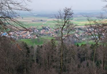
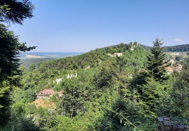
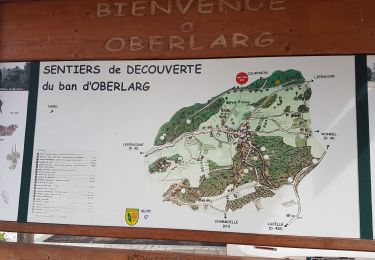
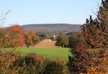
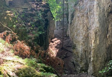
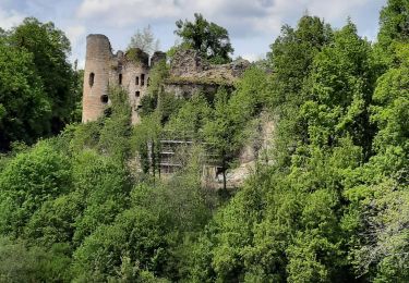
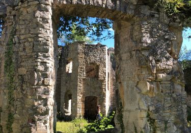
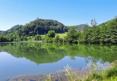
Trail On foot of 18.8 km to be discovered at Grand Est, Haut-Rhin, Bendorf. This trail is proposed by boubou68.
Description
Reconnue le 01/06/2024...
Parking départ de la Rando : Salle Polyvalente la Grange :15 rue du Cimetière à BENDORF.
Positioning
Country:
France
Region :
Grand Est
Department/Province :
Haut-Rhin
Municipality :
Bendorf
Location:
Unknown
Start:(Dec)
Start:(UTM)
370307 ; 5260732 (32T) N.
Comments
Trails nearby
Rando Koestlach..."Les Marcheurs"...08/03/2024
Walking
Very difficult
Kœstlach,
Grand Est,
Haut-Rhin,
France
22 km | 31 km-effort
6h 43min
Yes
Ferrette ,château, grotte des nains,rossberg
Walking
Difficult
Ferrette,
Grand Est,
Haut-Rhin,
France
8.6 km | 13.7 km-effort
5h 1min
Yes
Oberlarg - sa grotte - la ferme des Ebourbettes - le château de Morimont
Walking
Medium
Oberlarg,
Grand Est,
Haut-Rhin,
France
9.5 km | 13.3 km-effort
3h 22min
Yes
La balade des étangs - Ferrette
Cycle
Difficult
Ferrette,
Grand Est,
Haut-Rhin,
France
59 km | 68 km-effort
3h 0min
Yes
Ferrette château et grotte des nains
Walking
Medium
Ferrette,
Grand Est,
Haut-Rhin,
France
6 km | 9 km-effort
2h 21min
Yes
oberlag- château de morimont
Walking
Easy
Oberlarg,
Grand Est,
Haut-Rhin,
France
9.9 km | 13.7 km-effort
3h 49min
Yes
Château de Morimont avec Patrice
Walking
Medium
Oberlarg,
Grand Est,
Haut-Rhin,
France
6.2 km | 8.1 km-effort
2h 10min
Yes