


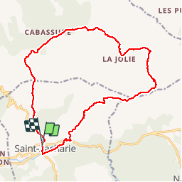

11.8 km | 15.5 km-effort


User


FREE GPS app for hiking
 SityTrail
IGN / Geographical institutes
SityTrail World
The world is yours!
Trail Walking of 19.9 km to be discovered at Provence-Alpes-Côte d'Azur, Var, Saint-Zacharie. This trail is proposed by bourrin83.
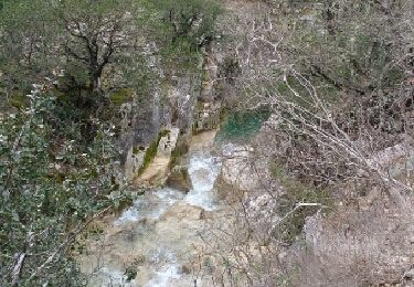
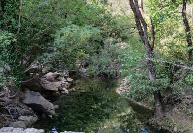
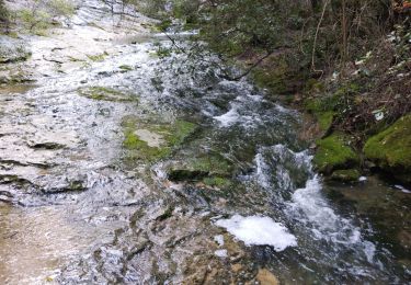
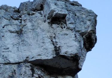
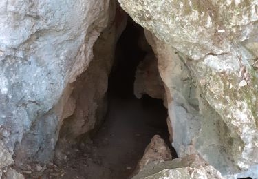
Au départ de Saint Zacharie , montée à l'Ermitage de Saint Jean, Passage au pied du mont Olympe , Le Clos Barry et retour par le GR

Mountain bike

Walking

Walking

Walking
Walking
Walking
Walking
Walking
Walking