Trail Walking Ordiarp - ORDIARP la chapelle st Gregoire G3  4082977 - Photo

ORDIARP la chapelle st Gregoire G3 4082977

 marmotte65
marmotte65

User GUIDE

© OpenStreetMap contributors
Length
Length
11.9 km
Max alt
Max alt
427 m
Uphill gradient
Uphill gradient
379 m
Km-Effort
Km-Effort  
17 km
Min alt
Min alt
174 m
Downhill gradient
Downhill gradient
379 m
Boucle
Boucle
Yes
Creation date :
2024-06-07 08:02:27.523
Updated on :
2024-06-07 16:12:00.303

(0 Reviews)

Walking
Walking
3h28
Difficulty : Difficult

Scan this QR Code to open this trail in the SityTrail application

FREE GPS app for hiking

Logo SityTrail SityTrail

IGN / Geographical institutes

Download SityTrail from the App Store Download SityTrail from Google Play

Logo SityTrail SityTrail World

The world is yours!

Download SityTrail from the App Store Download SityTrail from Google Play Download SityTrail on Huawei AppGallery

About

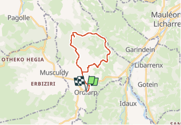
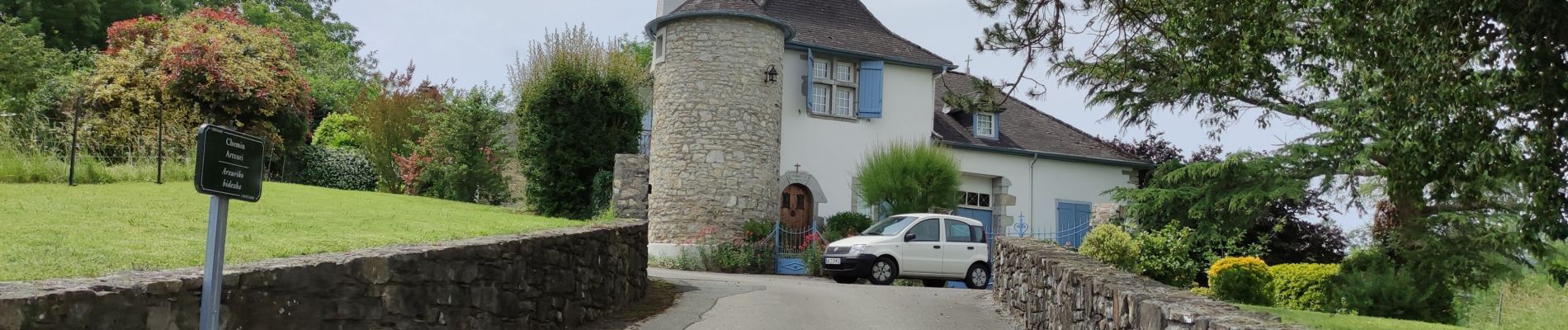
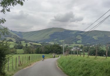
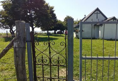
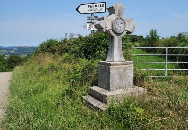
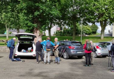
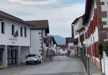
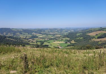
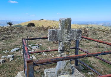
Trail Walking of 11.9 km to be discovered at New Aquitaine, Pyrénées-Atlantiques, Ordiarp. This trail is proposed by marmotte65.

Description

Toujours aussi belle cette  rando , malgré la difficulté de la dernière montée. Dommage que le soleil ne soit pas de la partie, mais on n'a pas eu de pluie.

Elevation profile

Photos

Positioning

Country:
France
Region :
New Aquitaine
Department/Province :
Pyrénées-Atlantiques
Municipality :
Ordiarp
Location:
Unknown
Start:(UTM)
667074 ; 4783604 (30T) N.

Trails nearby

Trail Walking Pagolle - G4  Pagolle gastellusare la chapelle  - Photo
Walking
GUIDE
LouisROGER

Walking

Difficult
(1)
Pagolle, New Aquitaine, Pyrénées-Atlantiques, France
9.2 km | 14.1 km-effort
3h 12min
Yes
Trail Walking Musculdy - MUSCULUDY  du col d'Osquich à la chapelle Saint-Antoine
Walking
GUIDE
marmotte65

Walking

Difficult
Musculdy, New Aquitaine, Pyrénées-Atlantiques, France
9.3 km | 13.4 km-effort
2h 51min
No
Trail Walking Pagolle - PAGOLLE et la chapelle St gregoire G3
Walking
GUIDE
marmotte65

Walking

Difficult
Pagolle, New Aquitaine, Pyrénées-Atlantiques, France
10.3 km | 15.3 km-effort
3h 28min
Yes
Trail Walking Pagolle - G4 pagolle  Gastelusare 2023 - Photo
Walking
GUIDE
LouisROGER

Walking

Difficult
Pagolle, New Aquitaine, Pyrénées-Atlantiques, France
9.6 km | 14.6 km-effort
3h 19min
Yes
Trail Walking Ordiarp - ORDIARP   le Kaskaborro G4  4079186 - Photo
Walking
GUIDE
marmotte65

Walking

Difficult
Ordiarp, New Aquitaine, Pyrénées-Atlantiques, France
10.1 km | 13.4 km-effort
3h 6min
Yes
Trail Walking Mauléon-Licharre - 2023 10 13 CHEMIN du PIÉMONT PYRÉNÉEN - 21ème étape : Mauléon-Lichare - Ordiap - Col de Napha - Saint-Just - Col de Gamia -Saint-Jean-le-Vieux - Saint-Jean-Pied-De-Port  - Photo
Walking
LEGUE

Walking

Very difficult
Mauléon-Licharre, New Aquitaine, Pyrénées-Atlantiques, France
42 km | 55 km-effort
7h 51min
No
Trail On foot Musculdy - MUSCULDY col d'Osquich journée des presidents et animateurs du 9/11/2024
On foot
GUIDE
marmotte65

On foot

Easy
Musculdy, New Aquitaine, Pyrénées-Atlantiques, France
5.9 km | 8.9 km-effort
2h 45min
Yes
Trail Walking Pagolle - Pagolle G3 2023 - Photo
Walking
GUIDE
LouisROGER

Walking

Difficult
Pagolle, New Aquitaine, Pyrénées-Atlantiques, France
10 km | 15 km-effort
5h 32min
Yes
Trail Walking Musculdy - chapelle st Antoine  - Photo
Walking
ChristopheLefauconnier

Walking

Medium
(1)
Musculdy, New Aquitaine, Pyrénées-Atlantiques, France
11.8 km | 21 km-effort
3h 58min
Yes


Close
My subscriptions