


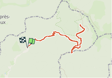

19.9 km | 34 km-effort

User


FREE GPS app for hiking
 SityTrail
IGN / Geographical institutes
SityTrail World
The world is yours!
Trail Walking of 11.8 km to be discovered at Grand Est, Haut-Rhin, Wegscheid. This trail is proposed by helmut68.
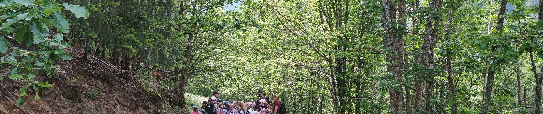
Sortie nature & géologique avec deux classes du primaire de la vallée de la Doller animée par la Maison de la Terre de Sentheim.


Walking

Walking

Walking

Walking

Walking

Walking

Walking

Walking
Walking