


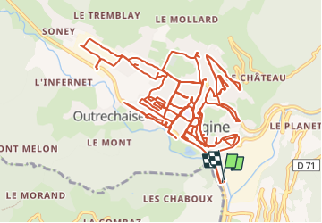

15.1 km | 32 km-effort


User


FREE GPS app for hiking
 SityTrail
IGN / Geographical institutes
SityTrail World
The world is yours!
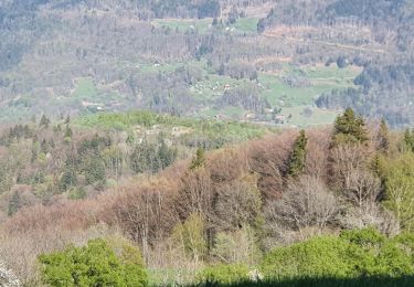
Trail Car of 31 km to be discovered at Auvergne-Rhône-Alpes, Savoy, Ugine. This trail is proposed by bill73.
Reconnaissance avec Fabien de la futur collecte le Lundi
Walking
Walking
Snowshoes
Walking

Walking

Walking
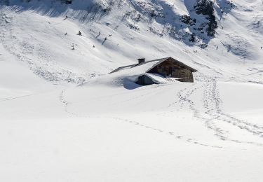
Snowshoes

Walking

Walking