


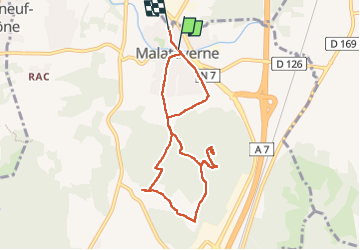

8.1 km | 10.4 km-effort


User


FREE GPS app for hiking
 SityTrail
IGN / Geographical institutes
SityTrail World
The world is yours!
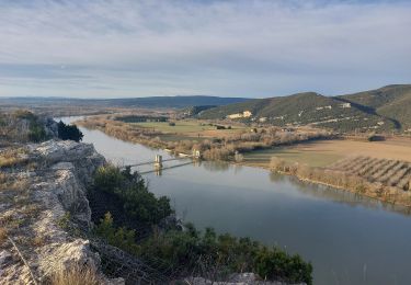
Trail Walking of 8.4 km to be discovered at Auvergne-Rhône-Alpes, Drôme, Malataverne. This trail is proposed by martoche.
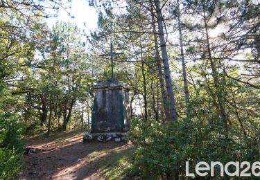
départ centre Malataverne. Beau Belvédère à la chapelle . Sentiers ombragés très agréables
Walking

Walking

Walking

Walking
Walking

Walking
Walking
Walking
Walking