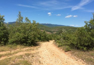
15.8 km | 21 km-effort
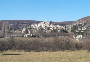
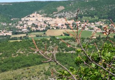
Dauban vers Banon
julien ogeron
User
Length
6.9 km
Max alt
799 m
Uphill gradient
255 m
Km-Effort
9.7 km
Min alt
602 m
Downhill gradient
69 m
Boucle
No
Creation date :
2024-06-05 07:32:52.0
Updated on :
2024-06-05 09:21:41.404
FREE GPS app for hiking
About
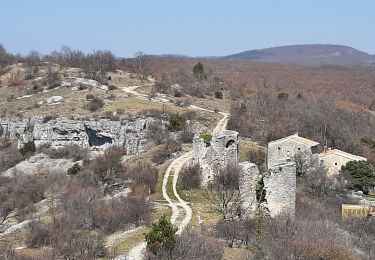
Trail of 6.9 km to be discovered at Provence-Alpes-Côte d'Azur, Alpes-de-Haute-Provence, Banon. This trail is proposed by julien ogeron.
Positioning
Country:
France
Region :
Provence-Alpes-Côte d'Azur
Department/Province :
Alpes-de-Haute-Provence
Municipality :
Banon
Location:
Unknown
Start:(Dec)
Start:(UTM)
711981 ; 4875287 (31T) N.
Comments
Trails nearby
Le plan du largue. la chapelle Saint Michel
Walking
Medium
Banon,
Provence-Alpes-Côte d'Azur,
Alpes-de-Haute-Provence,
France
5h 4min
Yes
Le revest des brousses .val Marie
Walking
Easy
Vachères,
Provence-Alpes-Côte d'Azur,
Alpes-de-Haute-Provence,
France
7.1 km | 9 km-effort
2h 46min
Yes
montsalier le vieux et l oboeuf
Walking
Difficult
Montsalier,
Provence-Alpes-Côte d'Azur,
Alpes-de-Haute-Provence,
France
11 km | 16 km-effort
3h 54min
Yes
Le Largue
Walking
Medium
Banon,
Provence-Alpes-Côte d'Azur,
Alpes-de-Haute-Provence,
France
8 km | 10.9 km-effort
2h 36min
Yes
BANON Les Chastellas . Aven de Courtin . Hameau ruiné des Plaines n
Walking
Easy
Banon,
Provence-Alpes-Côte d'Azur,
Alpes-de-Haute-Provence,
France
12.4 km | 17.3 km-effort
3h 33min
Yes
Autour du hameau du Largue
Walking
Easy
Banon,
Provence-Alpes-Côte d'Azur,
Alpes-de-Haute-Provence,
France
10.7 km | 13.7 km-effort
4h 8min
Yes
Le Largue 2
Walking
Difficult
(1)
Banon,
Provence-Alpes-Côte d'Azur,
Alpes-de-Haute-Provence,
France
8.2 km | 11.2 km-effort
2h 14min
Yes
la rochegiron. la chapelle St Michel
Walking
Medium
Banon,
Provence-Alpes-Côte d'Azur,
Alpes-de-Haute-Provence,
France
11.2 km | 15.7 km-effort
4h 39min
No
Banon
Walking
Easy
Banon,
Provence-Alpes-Côte d'Azur,
Alpes-de-Haute-Provence,
France
8.6 km | 11.9 km-effort
2h 17min
Yes