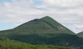
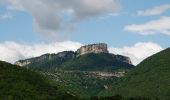
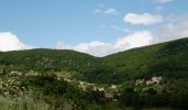
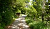
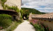
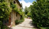
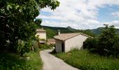
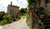
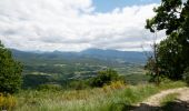
Trail Walking Beaufort-sur-Gervanne - Beaufort - Gigors - Lozeron - Photo
© OpenStreetMap contributors
Length
Length
18.9 km
Max alt
Max alt
922 m
Uphill gradient
Uphill gradient
673 m
Km-Effort
Km-Effort  
28 km
Min alt
Min alt
372 m
Downhill gradient
Downhill gradient
674 m
Boucle
Boucle
Yes
Creation date :
2024-06-01 07:30:26.774
Updated on :
2024-06-04 06:44:11.988

(0 Reviews)

Walking
Walking
5h00
Difficulty : Medium

Scan this QR Code to open this trail in the SityTrail application

FREE GPS app for hiking

Logo SityTrail SityTrail
IGN / Geographical institutes

Download SityTrail from the App Store Download SityTrail from Google Play

Logo SityTrail SityTrail World
The world is yours!

Download SityTrail from the App Store Download SityTrail from Google Play Download SityTrail on Huawei AppGallery

About

Trail Walking of 18.9 km to be discovered at Auvergne-Rhône-Alpes, Drôme, Beaufort-sur-Gervanne. This trail is proposed by Philindy26.

Description

Départ du village de Beaufort-sur-Gervanne.
Géolocalisation (GoogleMaps) : https://maps.app.goo.gl/QZscwcNyYmPN5Jra7

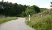
Montez vers le village de Lozeron par la RD 743. À Jozonières (455 m), empruntez le chemin de Gaillet pour passer aux Trois Prés et aux Chaux.
Là, montez directement par un talweg jusqu'au lieu-dit Peyraud. Poursuivez sur un sentier peu marqué qui monte à travers le Grand Mur jusqu'aux Lèches.
Rejoignez ensuite par un sentier le lieu-dit du Vautour (839 m), puis continuez sur la Montagne de Lozeron par une piste jusqu'à la ferme Tillon (868 m) et Perrache (854 m).
Pour terminer, descendez sur le village de Lozeron par la Côte (802 m).
Une fois arrivés au village, rentrez à Beaufort de nouveau par la RD 743.

Elevation profile

Photos

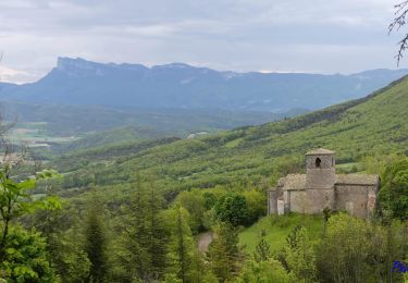
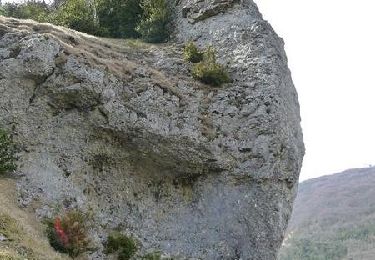
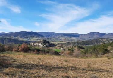
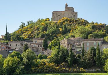
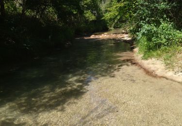
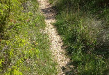
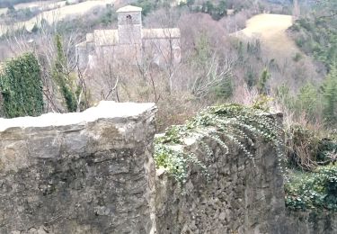
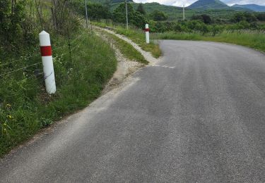
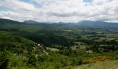
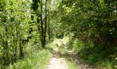
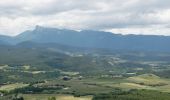
80 photos in total. Please click on a photo to see them all in the gallery.

Positioning

Country:
France
Region :
Auvergne-Rhône-Alpes
Department/Province :
Drôme
Municipality :
Beaufort-sur-Gervanne
Location:
Unknown
Start:(UTM)
669562 ; 4960488 (31T) N.

Trails nearby

Trail Walking Gigors-et-Lozeron - Gigors - Saint-Supière - Photo
Walking
Philindy26

Walking

Medium
(1)
Gigors-et-Lozeron, Auvergne-Rhône-Alpes, Drôme, France
11 km | 18.1 km-effort
4h 0min
Yes
Trail Walking Gigors-et-Lozeron - St Supière et Savel à Gigors et Lozeron - Photo
Walking
tracegps

Walking

Difficult
(1)
Gigors-et-Lozeron, Auvergne-Rhône-Alpes, Drôme, France
11.2 km | 17.9 km-effort
4h 0min
Yes
Trail Walking Montclar-sur-Gervanne - Montclar sur Gervanne-Col Gerbe-Chple St Christophe 17km - Photo
Walking
GUIDE
thonyc

Walking

Medium
Montclar-sur-Gervanne, Auvergne-Rhône-Alpes, Drôme, France
16.6 km | 24 km-effort
5h 20min
Yes
Trail Walking Beaufort-sur-Gervanne - 26 gervanne druise plan de baix - Photo
Walking
GUIDE
randodyssée

Walking

Medium
Beaufort-sur-Gervanne, Auvergne-Rhône-Alpes, Drôme, France
16.8 km | 23 km-effort
7h 57min
Yes
Trail Walking Beaufort-sur-Gervanne - Beaufort St Pancrace 17km - Photo
Walking
GUIDE
thonyc

Walking

Medium
(1)
Beaufort-sur-Gervanne, Auvergne-Rhône-Alpes, Drôme, France
15 km | 21 km-effort
5h 0min
Yes
Trail Walking Gigors-et-Lozeron - 26 st supporte gigors - Photo
Walking
GUIDE
randodyssée

Walking

Medium
Gigors-et-Lozeron, Auvergne-Rhône-Alpes, Drôme, France
16 km | 24 km-effort
5h 8min
Yes
Trail Walking Beaufort-sur-Gervanne - BEAUFORT ET GERVANNE - Photo
Walking
Fanchon_24

Walking

Easy
Beaufort-sur-Gervanne, Auvergne-Rhône-Alpes, Drôme, France
36 km | 42 km-effort
4h 8min
No
Trail Walking Montclar-sur-Gervanne - 2023-02-26_18h25m27_Montclar sur Gervanne 16km - Photo
Walking
chancha

Walking

Very difficult
Montclar-sur-Gervanne, Auvergne-Rhône-Alpes, Drôme, France
15.3 km | 23 km-effort
5h 11min
Yes
Trail Walking Plan-de-Baix - Canyon des Gueulards - Plateau du Vellan  - Photo
Walking
Philindy26

Walking

Medium
Plan-de-Baix, Auvergne-Rhône-Alpes, Drôme, France
18.7 km | 28 km-effort
4h 55min
Yes


Close
My subscriptions