


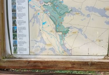
12.3 km | 14.4 km-effort

Club Rando Saint-Paër


FREE GPS app for hiking
 SityTrail
IGN / Geographical institutes
SityTrail World
The world is yours!
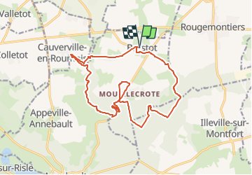
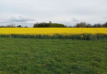
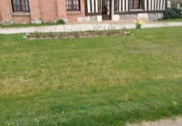
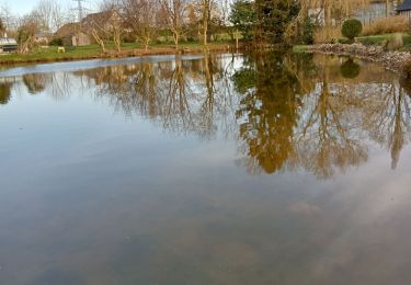
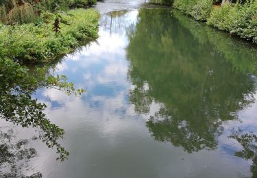
Trail Walking of 16.7 km to be discovered at Normandy, Eure, Brestot. This trail is proposed by BOUSSOLE ET SAC A DOS.

Walking
Walking
Walking
Walking
Walking
Walking
Walking
Walking

Walking
bien