


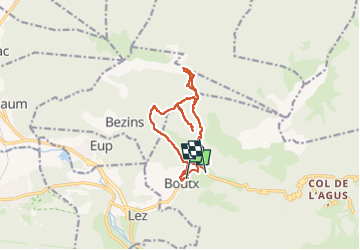

12.1 km | 23 km-effort


FREE GPS app for hiking
 SityTrail
IGN / Geographical institutes
SityTrail World
The world is yours!
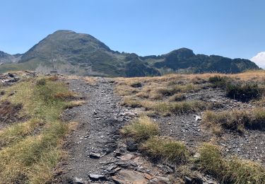
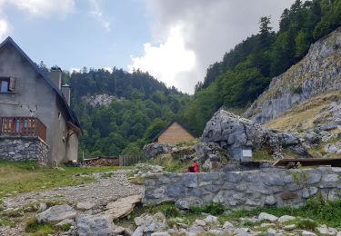
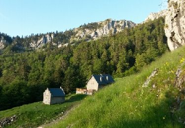
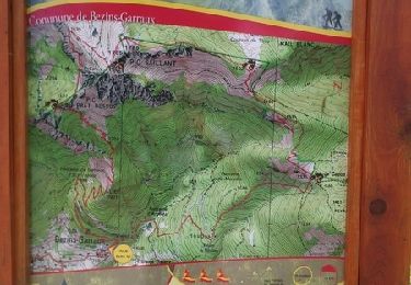
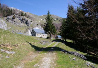
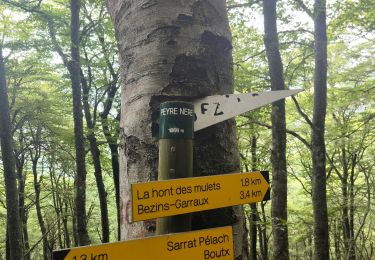
Trail Walking of 15.4 km to be discovered at Occitania, Haute-Garonne, Boutx. This trail is proposed by Jacqueline Vandergheynst.
depart boutx la chapelle en boucle

Walking
Walking
Walking
Walking
Running

Walking
Walking
Walking
Walking