


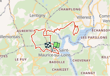


14.2 km | 19.8 km-effort


User GUIDE


FREE GPS app for hiking
 SityTrail
IGN / Geographical institutes
SityTrail World
The world is yours!
Trail Walking of 21 km to be discovered at Auvergne-Rhône-Alpes, Loire, Saint-Jean-Saint-Maurice-sur-Loire. This trail is proposed by dudu42.
Parcours composé a 30� bitume.
Parties avec le chant des oiseaux,des grillons et du croisement des grenouilles !.
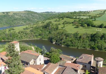
Milles senteurs en cours de trajet (printemps).
Beaux points de vue.
Peu de monde.


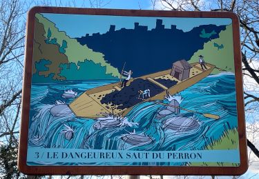
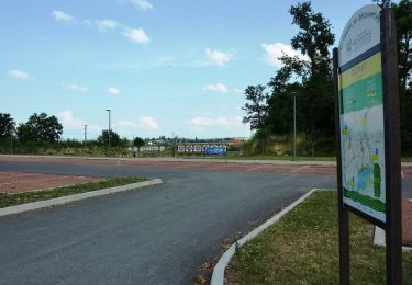
30 photos in total. Please click on a photo to see them all in the gallery.

Walking


sport

Walking

Walking

Walking
On foot
Walking

Mountain bike
Mountain bike