


9.1 km | 11 km-effort


User


FREE GPS app for hiking
 SityTrail
IGN / Geographical institutes
SityTrail World
The world is yours!
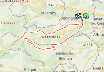
Trail Walking of 13.6 km to be discovered at Hauts-de-France, Pas-de-Calais, Seninghem. This trail is proposed by eaea7charles.
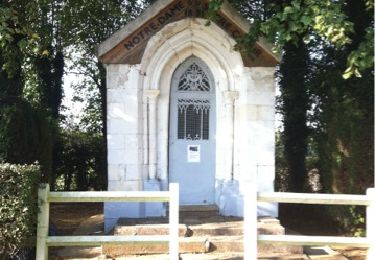
départ de la chapelle Notre dame des ardents ( le feu des ardents due à l'ergot du seigle ) ; passage à la chapelle Notre dame du Mont

Walking

Mountain bike
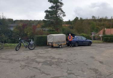
Mountain bike
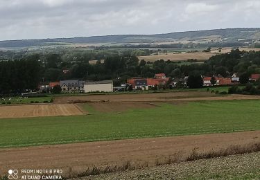
Walking

Walking
Mountain bike

Walking

Walking
Walking