


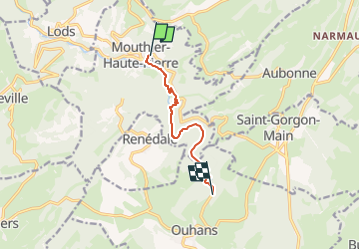

14.8 km | 23 km-effort
Convivialité Montagne Santé


FREE GPS app for hiking
 SityTrail
IGN / Geographical institutes
SityTrail World
The world is yours!
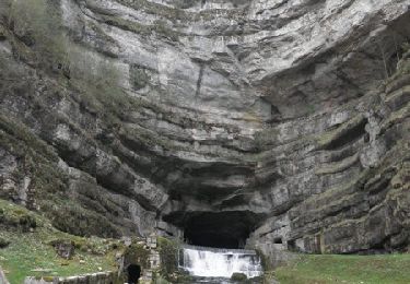
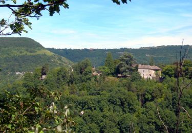
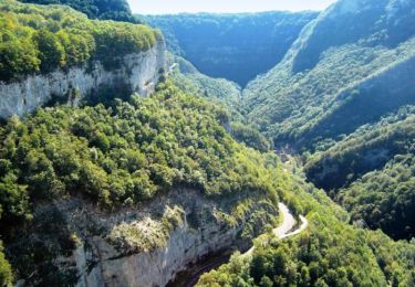
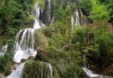
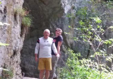
Trail On foot of 6.5 km to be discovered at Bourgogne-Franche-Comté, Doubs, Mouthier-Haute-Pierre. This trail is proposed by ABR GV La Tronche.

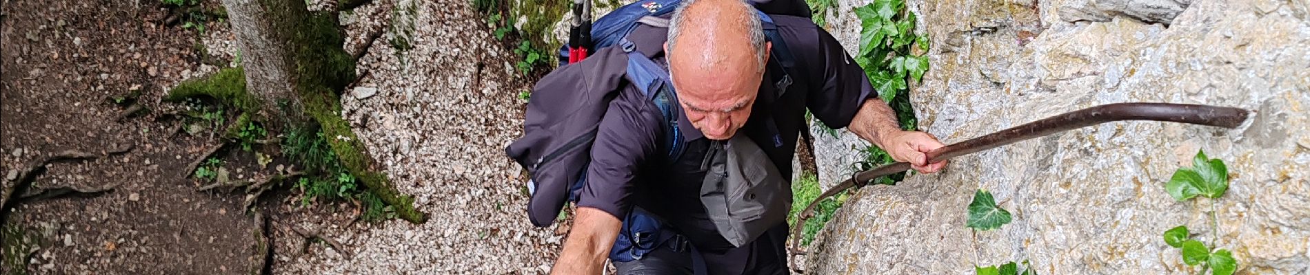
Walking

Walking
Walking
Walking
Walking

On foot

Walking
Walking
Walking