


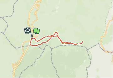

6.2 km | 9.6 km-effort


FREE GPS app for hiking
 SityTrail
IGN / Geographical institutes
SityTrail World
The world is yours!
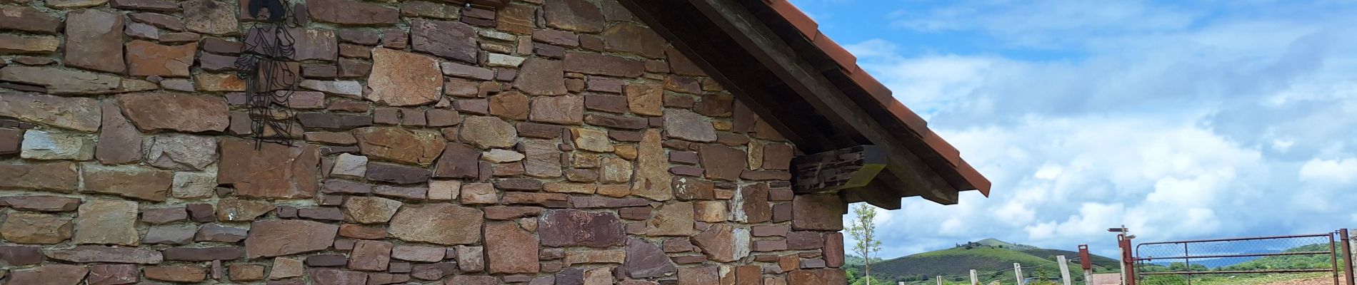
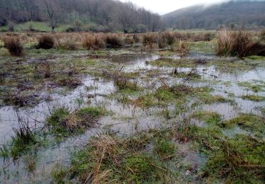
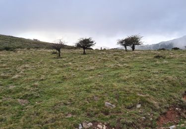
Trail Walking of 12.5 km to be discovered at Navarre, Unknown, Baztan. This trail is proposed by ChristopheLefauconnier.


On foot
Walking
