


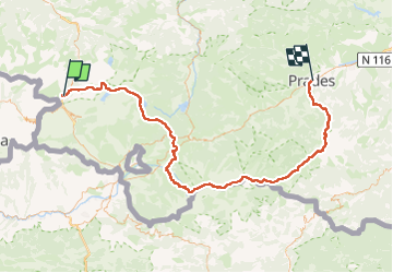


15.5 km | 28 km-effort


User


FREE GPS app for hiking
 SityTrail
IGN / Geographical institutes
SityTrail World
The world is yours!
Trail Walking of 112 km to be discovered at Occitania, Ariège, L'Hospitalet-près-l'Andorre. This trail is proposed by Azarello.

Walking

Walking

Walking

Walking
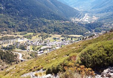
Walking

Walking
Walking

Other activity
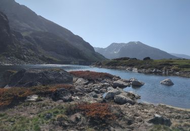
Walking