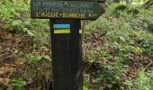

Saint Hilaire -Cusson la Valmitte

dudu42
User GUIDE

Length
12.9 km

Max alt
956 m

Uphill gradient
266 m

Km-Effort
16.5 km

Min alt
753 m

Downhill gradient
272 m
Boucle
Yes
Creation date :
2024-05-19 07:04:33.021
Updated on :
2024-05-19 10:22:30.0
3h03
Difficulty : Medium

FREE GPS app for hiking
About
Trail Walking of 12.9 km to be discovered at Auvergne-Rhône-Alpes, Loire, Saint-Hilaire-Cusson-la-Valmitte. This trail is proposed by dudu42.
Description
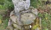
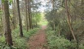
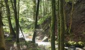
La partie longeant le torrent (beaucoup d'eau grâce aux pluies nombreuses) est superbe !
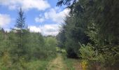
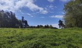
Sous bois de feuillus, chemin de terre, très peu de bitume.
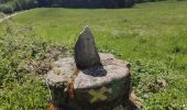
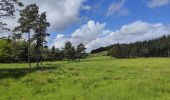
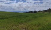
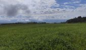
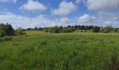
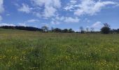
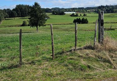
Point de vue depuis le plateau.
Peu de monde.
Positioning
Country:
France
Region :
Auvergne-Rhône-Alpes
Department/Province :
Loire
Municipality :
Saint-Hilaire-Cusson-la-Valmitte
Location:
Unknown
Start:(Dec)
Start:(UTM)
581697 ; 5024495 (31T) N.
Comments
Trails nearby

Luriecq "le saut du Bezan"


Walking
Medium
Merle-Leignec,
Auvergne-Rhône-Alpes,
Loire,
France

14.4 km | 19.2 km-effort
6h 23min
Yes
L''Aigue Blanche - Chanteloube


Mountain bike
Difficult
Valprivas,
Auvergne-Rhône-Alpes,
Haute-Loire,
France

13.9 km | 21 km-effort
1h 30min
Yes
L''Aigue Blanche - Chanteloube


Walking
Difficult
Valprivas,
Auvergne-Rhône-Alpes,
Haute-Loire,
France

13.9 km | 21 km-effort
3h 30min
Yes
Morand tour du proprio


Walking
Medium
Bas-en-Basset,
Auvergne-Rhône-Alpes,
Haute-Loire,
France

5.9 km | 10 km-effort
3h 2min
Yes
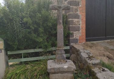
moulin et chapelles


Walking
Easy
Apinac,
Auvergne-Rhône-Alpes,
Loire,
France

9.8 km | 13.1 km-effort
3h 11min
Yes
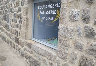
le font des dames


Walking
Easy
Rozier-Côtes-d'Aurec,
Auvergne-Rhône-Alpes,
Loire,
France

13.5 km | 17.9 km-effort
3h 23min
Yes
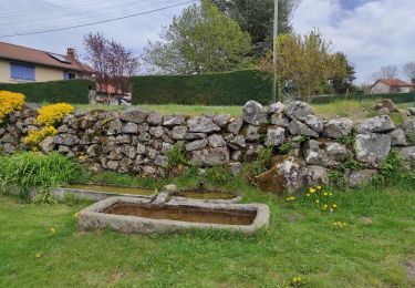
le chemin delà poix


Walking
Easy
Merle-Leignec,
Auvergne-Rhône-Alpes,
Loire,
France

9.9 km | 12.5 km-effort
2h 50min
Yes
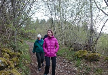
Chemin des pierres


Walking
Very easy
Apinac,
Auvergne-Rhône-Alpes,
Loire,
France

7.9 km | 9.9 km-effort
2h 19min
Yes


 SityTrail


