


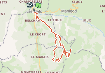

10.7 km | 28 km-effort


User


FREE GPS app for hiking
 SityTrail
IGN / Geographical institutes
SityTrail World
The world is yours!
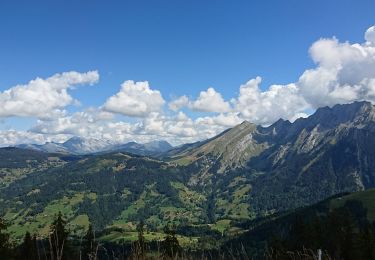
Trail Walking of 19.3 km to be discovered at Auvergne-Rhône-Alpes, Upper Savoy, Les Clefs. This trail is proposed by Chabard.
Départ de l'Eglise des Clefs
Montée en direct sur Plan Bois
Montée au sommet
Passage par le Petit Sulens et la Grande Montagne
Retour en boucle par Les Bancs, Les Gays, Pré Candu
Puis reprendre le chemin de l'aller

Touring skiing
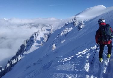
Touring skiing

Walking

Snowshoes

Walking
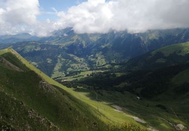
Walking
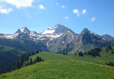
Walking
Walking
Walking