24 km | 28 km-effort
Beaulieu 11 km
ODDAD78
User
Length
10.7 km
Max alt
227 m
Uphill gradient
91 m
Km-Effort
11.9 km
Min alt
188 m
Downhill gradient
91 m
Boucle
Yes
Creation date :
2024-05-15 06:53:57.259
Updated on :
2024-05-15 07:09:04.442
2h42
Difficulty : Medium
FREE GPS app for hiking
About
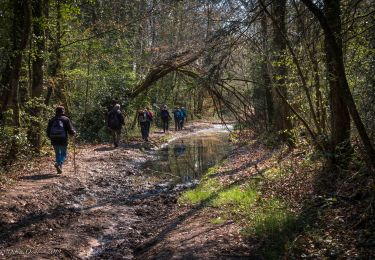
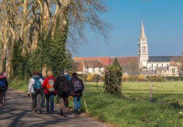
Trail Walking of 10.7 km to be discovered at Normandy, Orne, Beaulieu. This trail is proposed by ODDAD78.
Positioning
Country:
France
Region :
Normandy
Department/Province :
Orne
Municipality :
Beaulieu
Location:
Unknown
Start:(Dec)
Start:(UTM)
333865 ; 5394369 (31U) N.
Comments
Trails nearby
Saint-Maurice-lès-Charencey - Soligny-la-Trappe 25 km
Walking
Medium
Charencey,
Normandy,
Orne,
France
6h 22min
No
Saint-Maurice-les-Charencey - Tourouvre 28 km
Walking
Easy
Charencey,
Normandy,
Orne,
France
26 km | 30 km-effort
6h 53min
No
Circuit des Normands - Chennebrun
Walking
Easy
Chennebrun,
Normandy,
Eure,
France
5.5 km | 5.9 km-effort
1h 19min
Yes
Circuit des Fermes - Gournay-le-Guérin
Walking
Easy
Gournay-le-Guérin,
Normandy,
Eure,
France
7.3 km | 7.9 km-effort
1h 49min
Yes
Circuit des Normands - Chennebrun
Walking
Easy
Chennebrun,
Normandy,
Eure,
France
5.5 km | 5.9 km-effort
1h 19min
Yes
[Itinéraire] D'un calvaire à l'autre
Walking
Medium
Beaulieu,
Normandy,
Orne,
France
5.7 km | 6.3 km-effort
1h 25min
Yes
[Itinéraire] Autour du bourg
Walking
Easy
Beaulieu,
Normandy,
Orne,
France
4.2 km | 4.6 km-effort
1h 2min
Yes
TPE 2018 Etape 3 Saint-Maurice-lès-Charencey - Tourouvre 26,1Km
Walking
Medium
Charencey,
Normandy,
Orne,
France
26 km | 31 km-effort
6h 43min
No