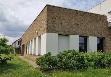
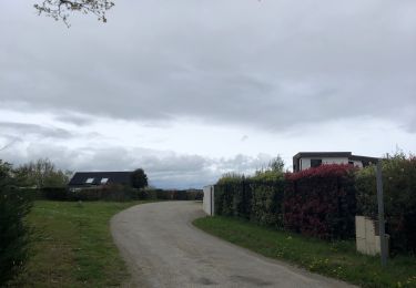
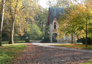
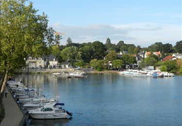
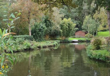
Trail  Carquefou - Balade avec les loulous  - Photo
© OpenStreetMap contributors
Length
Length
13.1 km
Max alt
Max alt
61 m
Uphill gradient
Uphill gradient
99 m
Km-Effort
Km-Effort  
14.4 km
Min alt
Min alt
5 m
Downhill gradient
Downhill gradient
100 m
Boucle
Boucle
Yes
Creation date :
2024-05-12 14:22:49.0
Updated on :
2024-05-12 15:41:04.814

(0 Reviews)


Scan this QR Code to open this trail in the SityTrail application

FREE GPS app for hiking

Logo SityTrail SityTrail

IGN / Geographical institutes

Download SityTrail from the App Store Download SityTrail from Google Play

Logo SityTrail SityTrail World

The world is yours!

Download SityTrail from the App Store Download SityTrail from Google Play Download SityTrail on Huawei AppGallery

About

Trail of 13.1 km to be discovered at Pays de la Loire, Loire-Atlantique, Carquefou. This trail is proposed by Aurelien44470.

Elevation profile

Positioning

Country:
France
Region :
Pays de la Loire
Department/Province :
Loire-Atlantique
Municipality :
Carquefou
Location:
Unknown
Start:(UTM)
614166 ; 5239746 (30T) N.

Trails nearby

Trail Mountain bike Thouaré-sur-Loire - Thouaré sur loire-Tharon via Mindin - Photo
Mountain bike
boboss4x4

Mountain bike

Medium
(5)
Thouaré-sur-Loire, Pays de la Loire, Loire-Atlantique, France
82 km | 89 km-effort
4h 12min
No
Trail On foot Carquefou - Entre Terres et Rivières - Photo
On foot
GUIDE+

On foot

Easy
Carquefou, Pays de la Loire, Loire-Atlantique, France
4.6 km | 5.1 km-effort
1h 9min
No
Trail Walking Carquefou - Carquefou les hauts - Photo
Walking
jylera

Walking

Easy
(2)
Carquefou, Pays de la Loire, Loire-Atlantique, France
10.3 km | 11.6 km-effort
2h 34min
Yes
Trail Hybrid bike Sucé-sur-Erdre - Jour 3 - Photo
Hybrid bike
001977.cf51a0d442c147ca8363ee41098171fd.1110

Hybrid bike

Medium
Sucé-sur-Erdre, Pays de la Loire, Loire-Atlantique, France
8.9 km | 10.1 km-effort
36min
Yes
Trail Hybrid bike Sucé-sur-Erdre - Jour 1 - Photo
Hybrid bike
001977.cf51a0d442c147ca8363ee41098171fd.1110

Hybrid bike

Easy
Sucé-sur-Erdre, Pays de la Loire, Loire-Atlantique, France
13 km | 14.6 km-effort
56min
Yes
Trail On foot La Chapelle-sur-Erdre - La Source, Le Rupt, l'ancienne voie de chemin de fer - Photo
On foot
GUIDE+

On foot

Easy
La Chapelle-sur-Erdre, Pays de la Loire, Loire-Atlantique, France
5.5 km | 6.2 km-effort
1h 25min
No
Trail On foot Carquefou - Les Bords de l'Erdre - Photo
On foot
GUIDE+

On foot

Easy
Carquefou, Pays de la Loire, Loire-Atlantique, France
4.4 km | 5 km-effort
1h 8min
No
Trail Walking Sucé-sur-Erdre - Entre Erdre et marais  - Photo
Walking
monted4460

Walking

Very easy
Sucé-sur-Erdre, Pays de la Loire, Loire-Atlantique, France
5.9 km | 6.9 km-effort
1h 32min
Yes
Trail Walking La Chapelle-sur-Erdre - La Chapelle Erdre Gascherie - Photo
Walking
TonioNantes

Walking

Medium
(1)
La Chapelle-sur-Erdre, Pays de la Loire, Loire-Atlantique, France
9.2 km | 10.1 km-effort
2h 19min
Yes


Close
My subscriptions