11.1 km | 17.4 km-effort
La grotte
Biquette73
User
Length
8.9 km
Max alt
605 m
Uphill gradient
386 m
Km-Effort
14.1 km
Min alt
409 m
Downhill gradient
400 m
Boucle
No
Creation date :
2024-05-12 09:14:21.0
Updated on :
2024-05-12 12:53:56.05
FREE GPS app for hiking
About
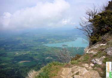
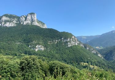
Trail of 8.9 km to be discovered at Auvergne-Rhône-Alpes, Savoy, Saint-Christophe. This trail is proposed by Biquette73.
Description
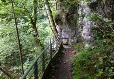
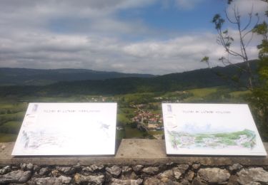
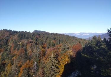
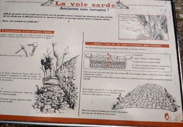
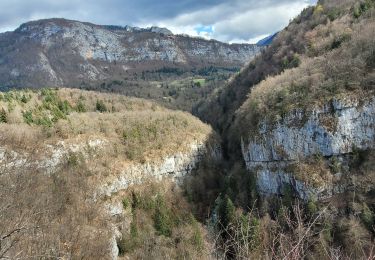
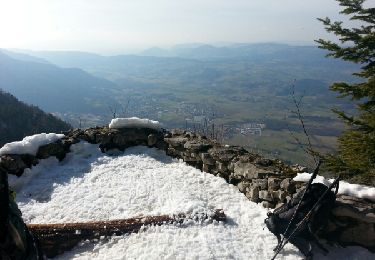
Cimetière de la grotte puis escalier des grottes gerbaix echallion pont st Martin
Positioning
Country:
France
Region :
Auvergne-Rhône-Alpes
Department/Province :
Savoy
Municipality :
Saint-Christophe
Location:
Unknown
Start:(Dec)
Start:(UTM)
717382 ; 5036631 (31T) N.
Comments
Trails nearby
Le Belvédère d'Arpison
Snowshoes
Medium
(1)
Saint-Christophe-sur-Guiers,
Auvergne-Rhône-Alpes,
Isère,
France
4h 43min
Yes
Le Mont Grelle 1425m, depuis Attignat - Oncin
Walking
Medium
(3)
Attignat-Oncin,
Auvergne-Rhône-Alpes,
Savoy,
France
9.6 km | 17.6 km-effort
4h 30min
Yes
Entreront
Road bike
Very difficult
(1)
Corbel,
Auvergne-Rhône-Alpes,
Savoy,
France
34 km | 49 km-effort
2h 53min
Yes
38 st Christophe sur guiers grottes guiers vif
Walking
Medium
Saint-Christophe,
Auvergne-Rhône-Alpes,
Savoy,
France
7.3 km | 12.7 km-effort
3h 24min
Yes
Ballade vers la Bauche
Walking
Easy
La Bauche,
Auvergne-Rhône-Alpes,
Savoy,
France
11.7 km | 23 km-effort
6h 19min
Yes
au dessus de la grotte des échelles
Trail
Very easy
Saint-Christophe,
Auvergne-Rhône-Alpes,
Savoy,
France
8 km | 11.8 km-effort
1h 11min
Yes
Mont Beauvoir
Trail
Easy
La Bauche,
Auvergne-Rhône-Alpes,
Savoy,
France
9.2 km | 18.7 km-effort
1h 47min
Yes
la voie SARDE / tunnel des l'Echelles /st Christophe sur Guiers
Walking
Very difficult
Saint-Christophe,
Auvergne-Rhône-Alpes,
Savoy,
France
15.1 km | 23 km-effort
5h 12min
Yes
190323 Boucle voie Sarde
Walking
Difficult
Saint-Christophe,
Auvergne-Rhône-Alpes,
Savoy,
France
9.7 km | 15.6 km-effort
3h 50min
Yes