


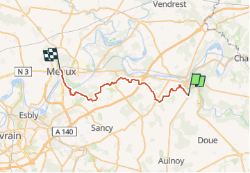

15.4 km | 18.4 km-effort


User GUIDE


FREE GPS app for hiking
 SityTrail
IGN / Geographical institutes
SityTrail World
The world is yours!
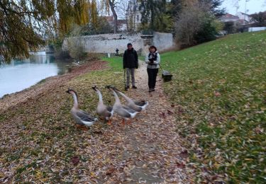
Trail On foot of 32 km to be discovered at Ile-de-France, Seine-et-Marne, Jouarre. This trail is proposed by chessyca.
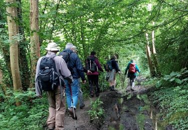
Préparation de l'étape 3
- Jouarre et Abbaye Notre-Dame, les joyaux mérovingiens de sa crypte, son musée local, (déja visité sur l'étape 2 )
- Ussy sur Marne et son église St Authaire (le père d'Adon et St Ouen qui accueillit St Colomban durant l'hiver 610) qui abrite un vitrail montrant Colomban en train de bénir les enfants d'Authaire.
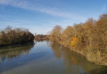
- Aqueduc de la Dhuys
- Le banc de Napoléon avec la vue sur la Vallée de la Marne ;
- Le château de Venteuil
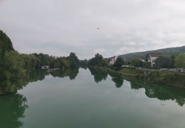
- la Cité Épiscopale à Meaux /cathédrale/maison du Brie

Walking
Walking
Walking
Walking
Walking
Walking
Walking
Walking
Walking