


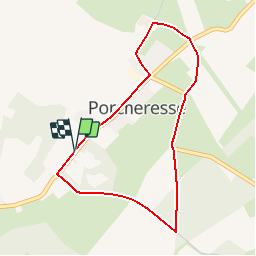


7.9 km | 9.8 km-effort


Destination Condroz-Famenne- une nature préservée PRO


FREE GPS app for hiking
 SityTrail
IGN / Geographical institutes
SityTrail World
The world is yours!
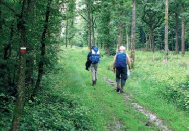
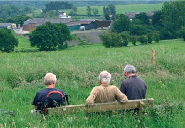
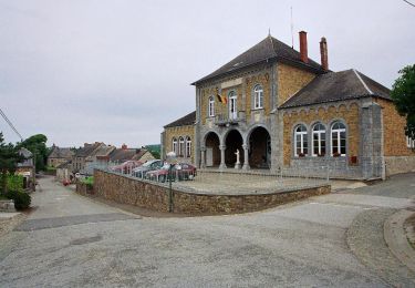
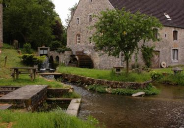
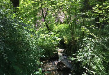
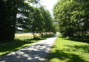
Trail Walking of 3.5 km to be discovered at Wallonia, Namur, Havelange. This trail is proposed by Vallées des Saveurs - Maison du Tourisme Condroz-Famenne.
Chemins, sentiers et piedsentes- Porcheresse! 3,5km pour une balade concoctée par le Centre Culturel d'Havelange.


Walking
Walking
Walking

Walking
Walking
Walking

Walking
Walking
Walking