


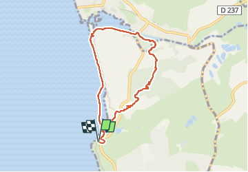

6 km | 6.8 km-effort

User


FREE GPS app for hiking
 SityTrail
IGN / Geographical institutes
SityTrail World
The world is yours!
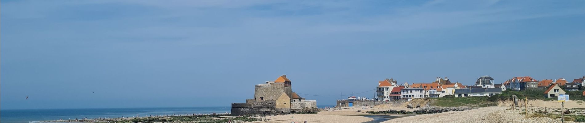
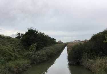
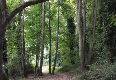
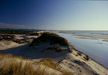
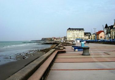
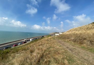
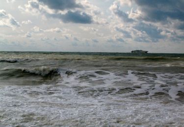
Trail Walking of 6.7 km to be discovered at Hauts-de-France, Pas-de-Calais, Wimereux. This trail is proposed by Claude Beckers.
parking pointe des oies -> ambletteuse -> parking. tour de la dune


Walking
Walking
Mountain bike
Walking
Walking
Walking

Walking
Mountain bike

Walking