


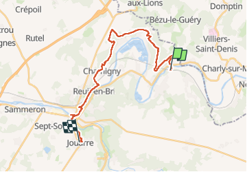

28 km | 35 km-effort


User GUIDE


FREE GPS app for hiking
 SityTrail
IGN / Geographical institutes
SityTrail World
The world is yours!
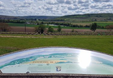
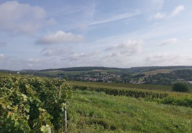
Trail Walking of 24 km to be discovered at Ile-de-France, Seine-et-Marne, Saâcy-sur-Marne. This trail is proposed by chessyca.
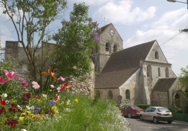
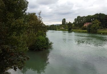
Une seconde étape plus facile que la précédente avec néanmoins une grande partie en sous bois et beaucoup de boue dans la matinée . Après midi agréable avec bcp plus de culturel


sport
Walking
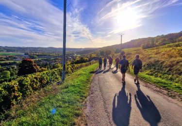
Walking
Walking
Walking

Walking
Walking
Walking
Walking