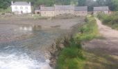

PR_56_Guidel_DA_04_Circuit3a_De-Guidel-Centre-Vers-La-Laita_20240510

patrickdanilo
User

Length
14.7 km

Max alt
62 m

Uphill gradient
236 m

Km-Effort
17.9 km

Min alt
7 m

Downhill gradient
236 m
Boucle
Yes
Creation date :
2024-05-10 07:49:11.295
Updated on :
2024-09-18 15:24:18.325
4h03
Difficulty : Easy

FREE GPS app for hiking
About
Trail Walking of 14.7 km to be discovered at Brittany, Morbihan, Guidel. This trail is proposed by patrickdanilo.
Description
Randonnée Marche de 14,9 km à découvrir à Bretagne, Morbihan, Guidel. Cette randonnée est proposée par patrickdanilo.
Positioning
Country:
France
Region :
Brittany
Department/Province :
Morbihan
Municipality :
Guidel
Location:
Unknown
Start:(Dec)
Start:(UTM)
463584 ; 5292817 (30T) N.
Comments
Trails nearby
Guidel plage 7,6 km


Walking
Easy
Guidel,
Brittany,
Morbihan,
France

7.6 km | 8.5 km-effort
2h 11min
Yes
Pouldu port peintres 6,3 km


Walking
Easy
Clohars-Carnoët,
Brittany,
Finistère,
France

6.3 km | 7.2 km-effort
2h 12min
Yes
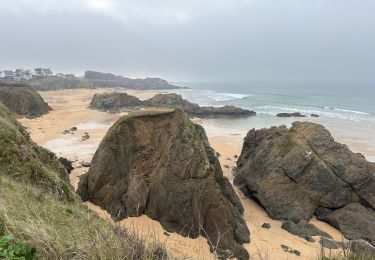
Pouldu Roche Percée et retour 9,5 km


Walking
Medium
Clohars-Carnoët,
Brittany,
Finistère,
France

9.5 km | 10.7 km-effort
2h 46min
Yes
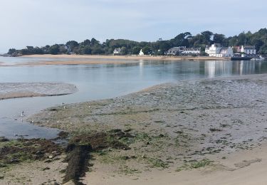
PR_56_Guidel_BA_02_Circuit3b_Entre-Loch-Et-Laita_20231004


Walking
Easy
Guidel,
Brittany,
Morbihan,
France

13.4 km | 15.7 km-effort
3h 34min
Yes
Moelans Pontivy par les berges du Blavet


Electric bike
Very easy
Clohars-Carnoët,
Brittany,
Finistère,
France

81 km | 94 km-effort
4h 43min
No
PR_56_Guidel_AA_01_Circuit3b_Autour-Du-Loc'h_20220120


Walking
Medium
Guidel,
Brittany,
Morbihan,
France

9.8 km | 11.2 km-effort
2h 16min
Yes
Remontée de la Laïta de Guidel au Pouldu


Walking
Easy
Clohars-Carnoët,
Brittany,
Finistère,
France

18.7 km | 22 km-effort
6h 53min
Yes


 SityTrail


