


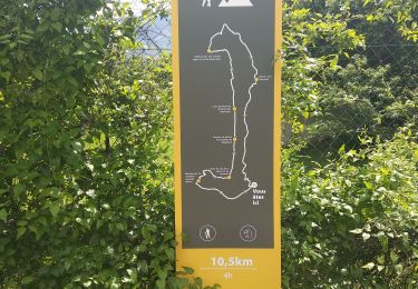
16 km | 29 km-effort

User


FREE GPS app for hiking
 SityTrail
IGN / Geographical institutes
SityTrail World
The world is yours!
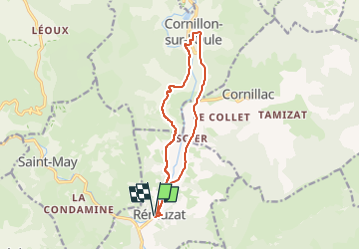
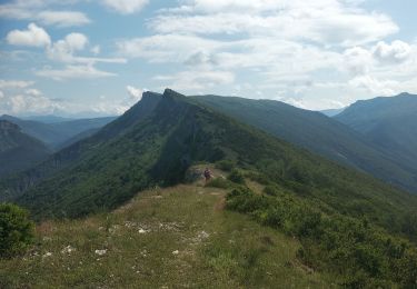
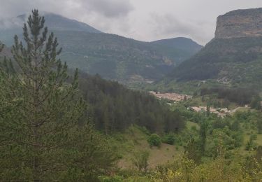
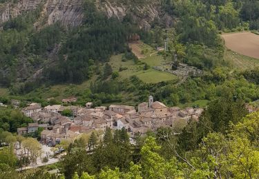
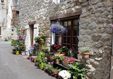
Trail Hybrid bike of 16.2 km to be discovered at Auvergne-Rhône-Alpes, Drôme, Rémuzat. This trail is proposed by scalpy.
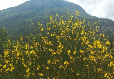
jolie balade à vélo plutôt de type gravel pour le passage vers Cornillon, avec un escalier en rondin au milieu de l'itinéraire. un peu pénible obligé à porter le vélo. mais sinon superbe ballade


Walking
Nordic walking
Walking
Walking
Walking
Walking
Walking
Walking
Walking