


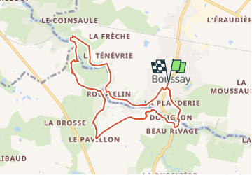

12.1 km | 13.8 km-effort


User


FREE GPS app for hiking
 SityTrail
IGN / Geographical institutes
SityTrail World
The world is yours!
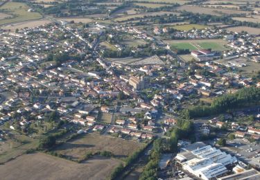
Trail Walking of 8.7 km to be discovered at Pays de la Loire, Loire-Atlantique, Boussay. This trail is proposed by gelineau.
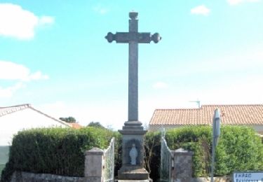
Départ de l'église
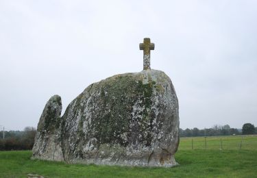
Circuit accessible toute l'année . A un certain passage un gros rocher!!!
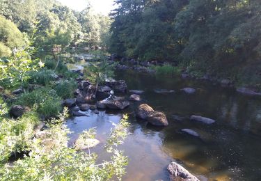
Passage humide et inondables en bord de rivière en période de pluie
On foot

Walking
Walking
Mountain bike

Mountain bike
Mountain bike
Mountain bike
Walking
Walking