10.6 km | 16.1 km-effort
camin d olt sud couesque depuis passerelle
kayakiste15
User
Length
57 km
Max alt
747 m
Uphill gradient
1965 m
Km-Effort
83 km
Min alt
222 m
Downhill gradient
1970 m
Boucle
Yes
Creation date :
2015-04-05 00:00:00.0
Updated on :
2015-04-05 00:00:00.0
3h56
Difficulty : Difficult
FREE GPS app for hiking
About
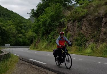
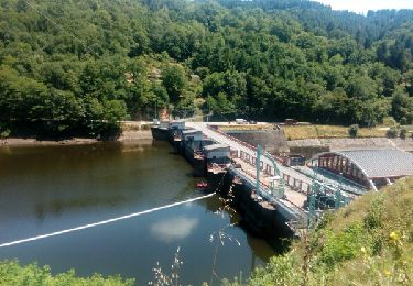
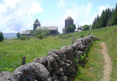
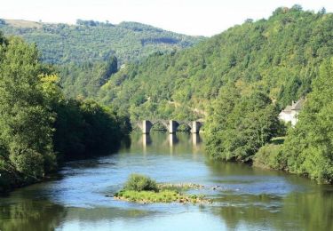
Trail Mountain bike of 57 km to be discovered at Occitania, Aveyron, Campouriez. This trail is proposed by kayakiste15.
Description
camin d olt campouriez banhars entraygue golinhac entraygue ginolhac

Positioning
Country:
France
Region :
Occitania
Department/Province :
Aveyron
Municipality :
Campouriez
Location:
Unknown
Start:(Dec)
Start:(UTM)
466233 ; 4947408 (31T) N.
Comments
Trails nearby
Entraygues-sur-Truyère PR 10
Walking
Medium
(2)
Entraygues-sur-Truyère,
Occitania,
Aveyron,
France
3h 36min
Yes
AUBRAC 5ème étape
Electric bike
Very easy
Entraygues-sur-Truyère,
Occitania,
Aveyron,
France
27 km | 32 km-effort
2h 0min
No
Entraygues-sur-Truyère. PR 8
Walking
Medium
Entraygues-sur-Truyère,
Occitania,
Aveyron,
France
15.2 km | 23 km-effort
4h 35min
Yes
Circuit des 10 plus beaux villages de France de l'Aveyron - Entragues sur Tru...
Cycle
Difficult
Entraygues-sur-Truyère,
Occitania,
Aveyron,
France
94 km | 125 km-effort
6h 0min
No
Les lacs de la Viadène - Entraygues sur Truyère
Cycle
Difficult
Entraygues-sur-Truyère,
Occitania,
Aveyron,
France
55 km | 74 km-effort
4h 0min
Yes
Des lacs de la Viadène à l'incontournable cascade du saut du chien - Entrayg...
Cycle
Very difficult
Entraygues-sur-Truyère,
Occitania,
Aveyron,
France
71 km | 94 km-effort
5h 19min
Yes
Chateau et puech de Poujol
Walking
Medium
Saint-Hippolyte,
Occitania,
Aveyron,
France
6.6 km | 10.8 km-effort
3h 46min
Yes
entraygues golinhac
Walking
Medium
Entraygues-sur-Truyère,
Occitania,
Aveyron,
France
16.4 km | 24 km-effort
3h 31min
Yes
Entraygue-sur-truyère,PR 9 et 17. Variante
Walking
Medium
Entraygues-sur-Truyère,
Occitania,
Aveyron,
France
15.2 km | 24 km-effort
4h 19min
Yes